
If you haven’t seen my weekend Itinerary for a trip to Dumfries and Galloway then you should check that one out first as it includes all of details of what we got up to during our Friday to Sunday weekend away on the peninsula. We had a fabulous time and naturally had to get a hike in whilst we were up there. This area of Scotland is certainly not as mountainous as further north however, its still has some interesting areas to walk and explore.
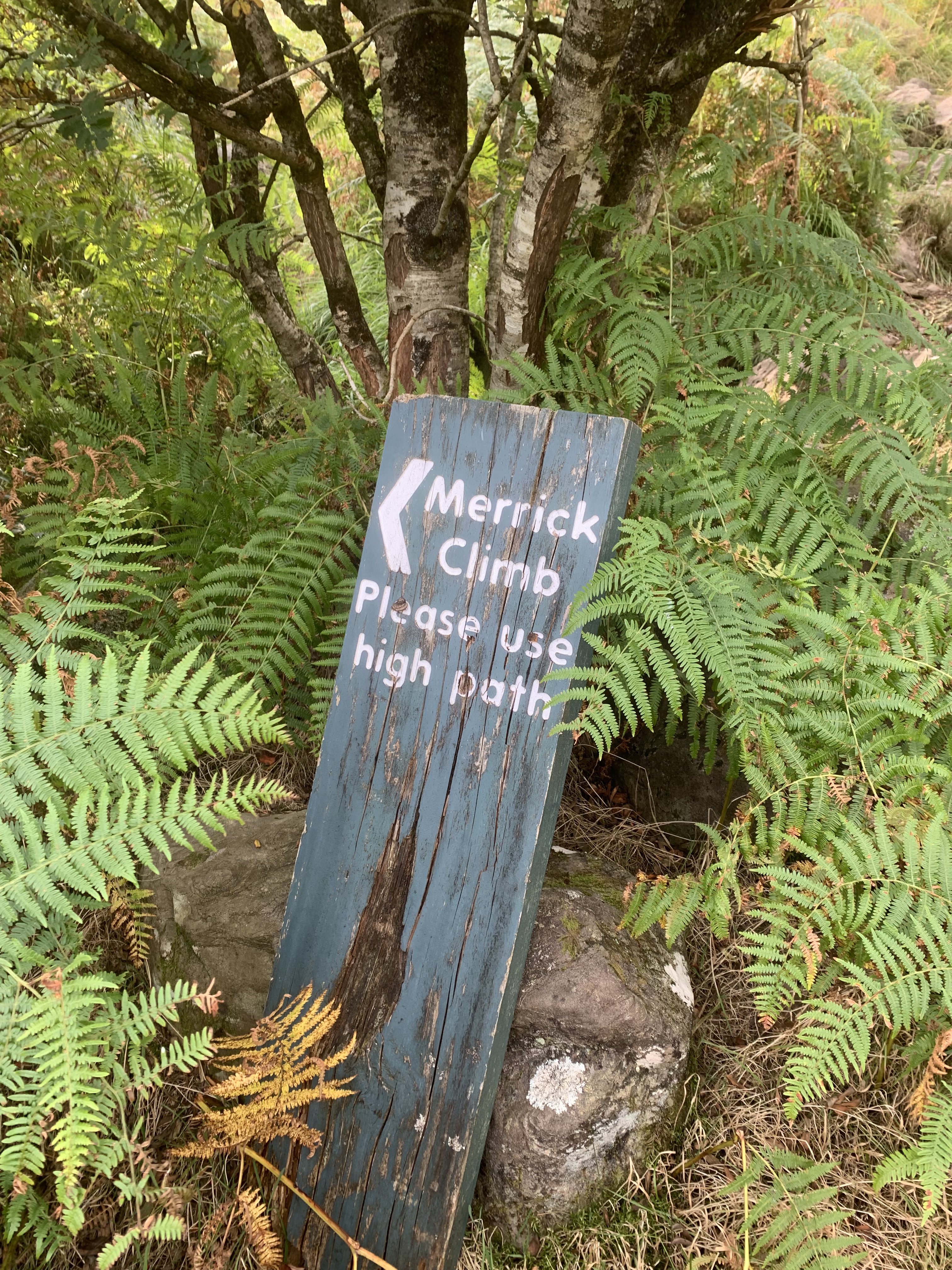
Merrick is the tallest mountain in the Southern Uplands and in Southern Scotland more generally. It has a height of 843 metres with puts it around 100 metres smaller than Scafell Pike. If you want a Lake District comparison, that makes it around the same as St Sundays Crag. I haven’t climbed that one yet though so I can’t comment on difficult comparisons. I will say that Merrick is a fairly easy one to do. You can reach the top in around 2 hours and the total return trip takes between 4 and 5 hours. We opted to do this on Sunday so we spent the morning to early afternoon doing the walk and then was able to drive home with plenty of time before the end of the day. The sign at the start of the walk indicates that the route isn’t way marked and, whilst that is true (bar one sign), it is very easy to navigate.
Difficulty: 1/5
Distance: 12km
Elevation: 843m
OS Map: Explorer 318
Notable Features: Merrick, Bruce’s Stone, Benyellary, Loch Enoch, Loch Trool
You should park at Upper Bruce’s Stone Car Park which is the very end of the road as you pass through the Galloway Forest Park. Parking is free here but, it is a rather small car park. However, I think most people opt to park further down the road instead, back towards the visitors information centre. You want to head straight past that and keep going. It will feel as if you have gone too far but keep going.
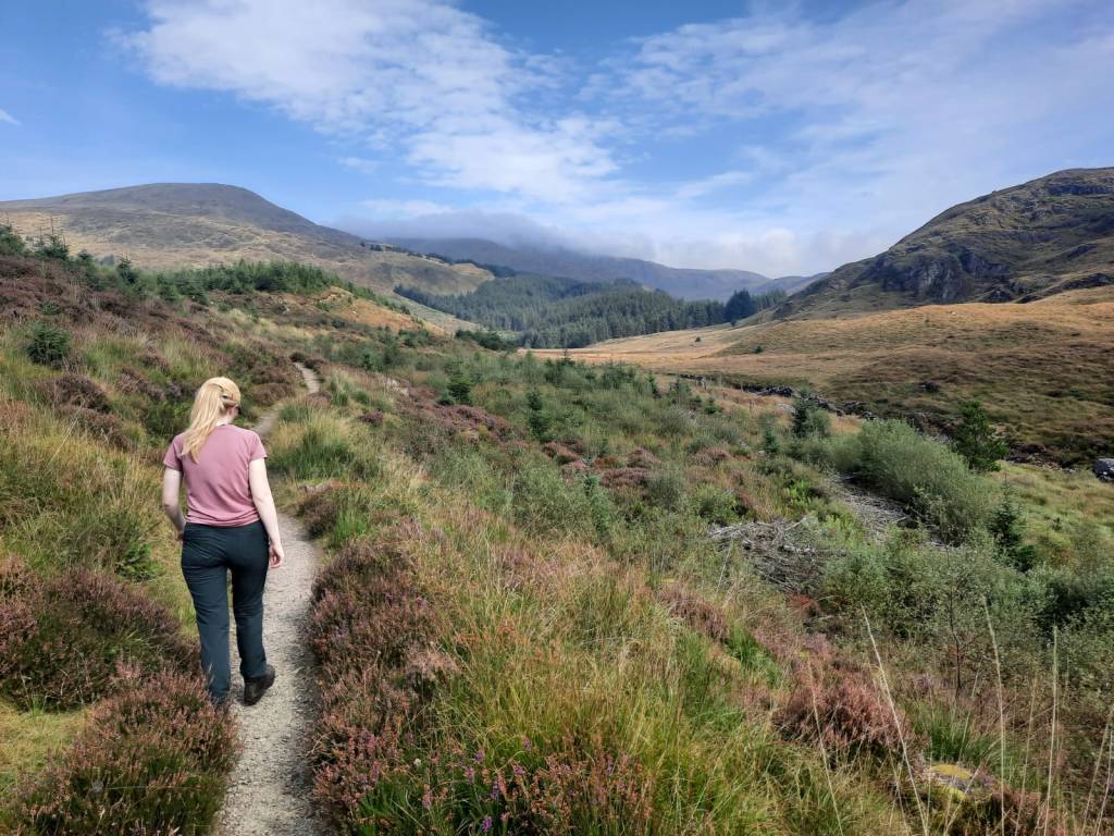
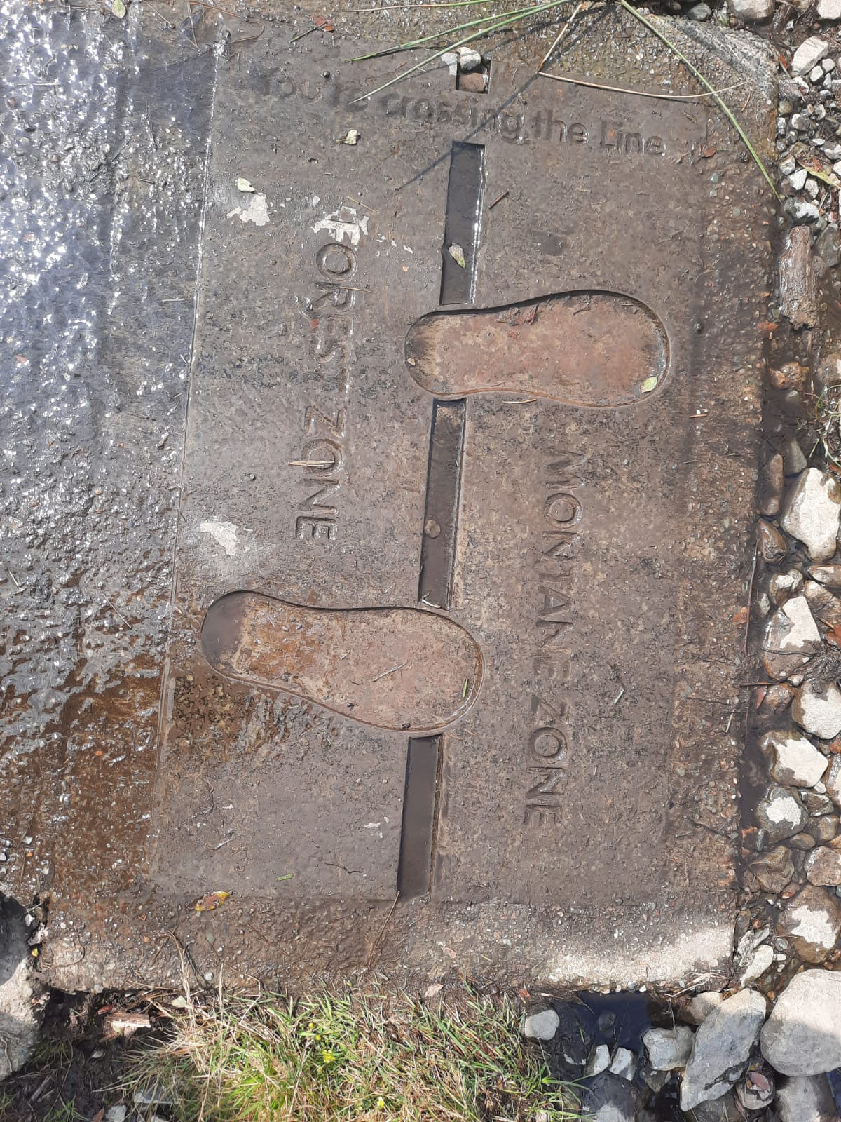
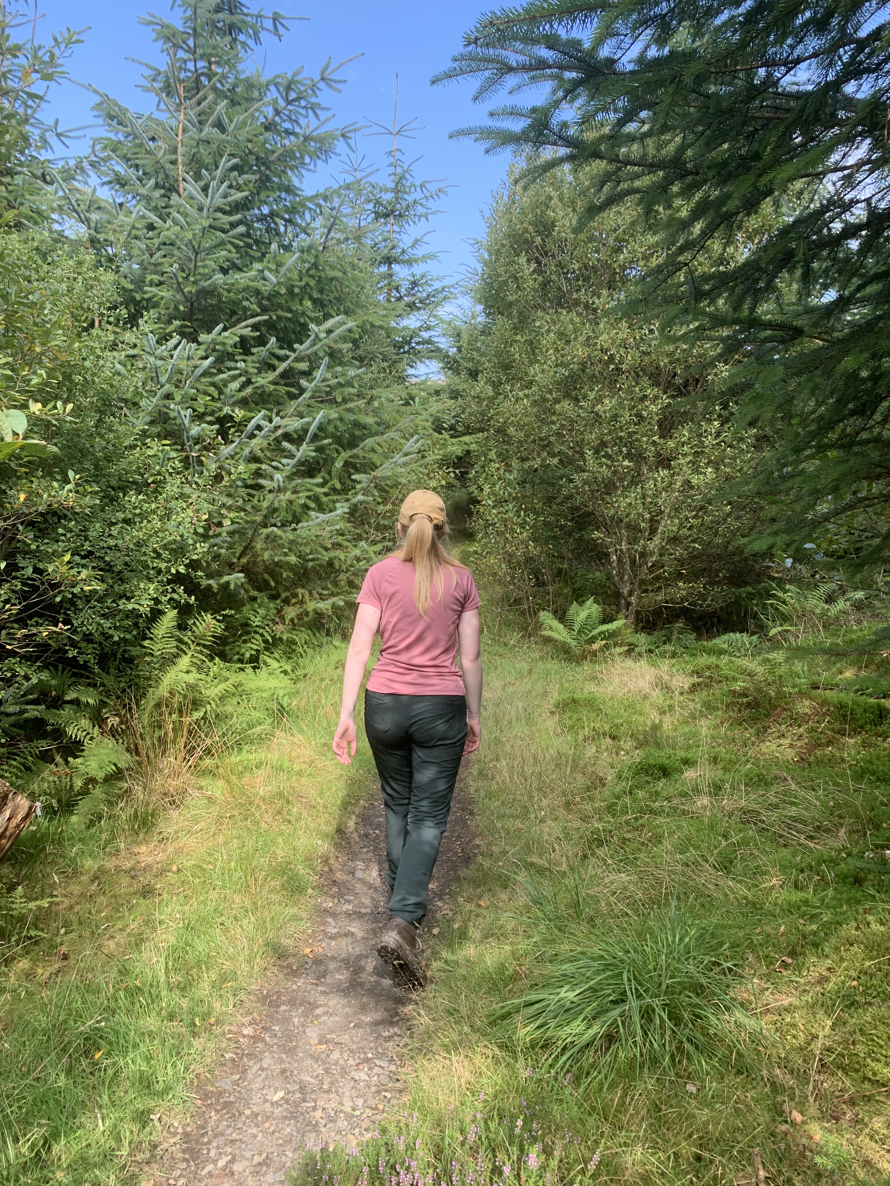
As for the hike itself, it begins quite lovely. You walk alongside a burn which feeds into the Loch you’ve driven past on your way to the car park. You can also complete a circular route around Loch Trool which takes around 2 hours, if you would prefer to do that instead. Or as well as! The path soon comes to what seems to have been an old bothy. It is run down now and needs some work doing to it. According to Maps Pedometer, this used to be called Culsharg Bothy. The disrepair of this bothy seems to be a recent thing as people were still using it in 2023. A comment on a Komoot feed suggested that you could still stay in it 2024 if you wanted to, without the doors and windows. I believe it was locked and closed off when we arrived though. It’s a shame!
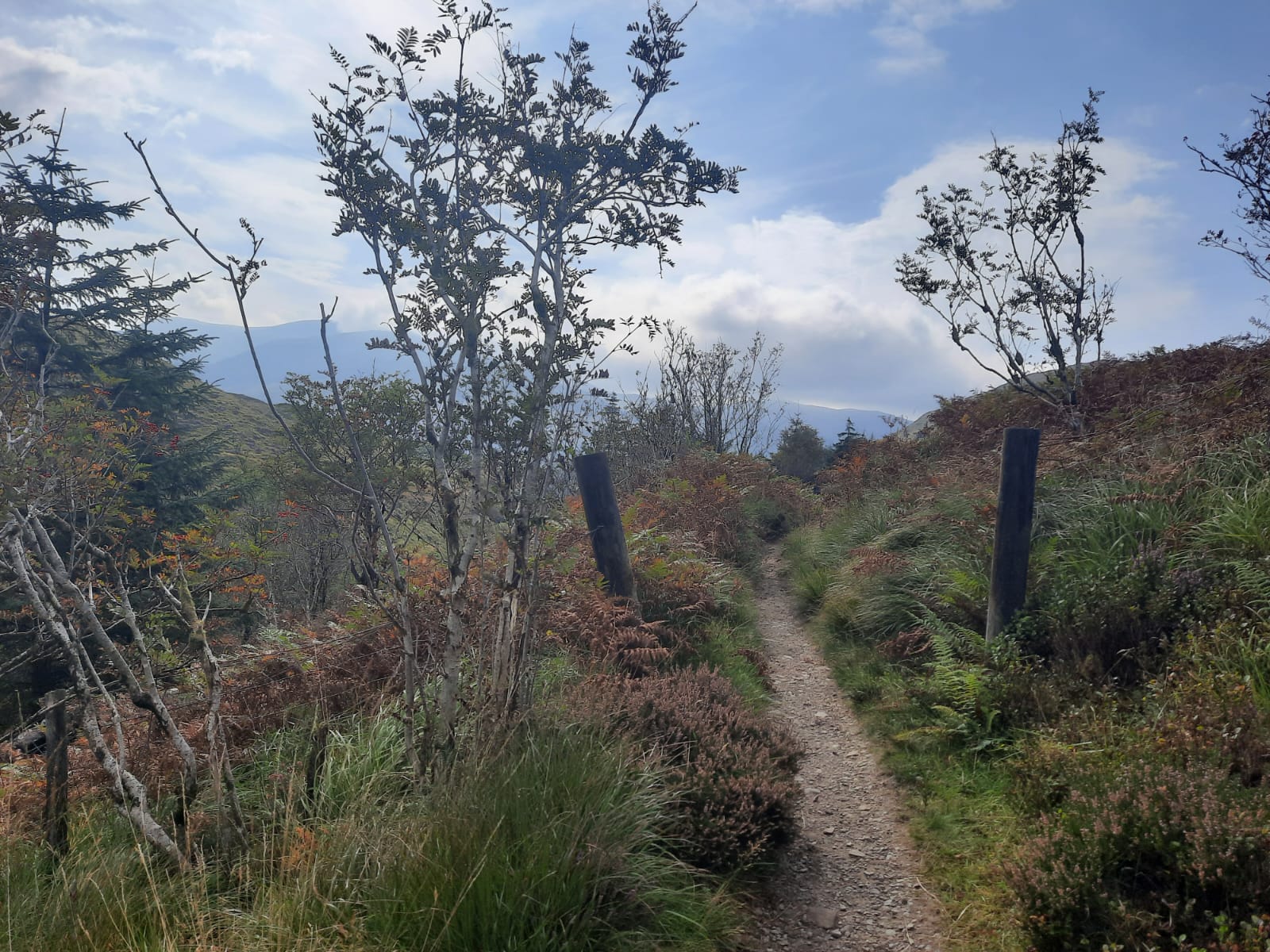
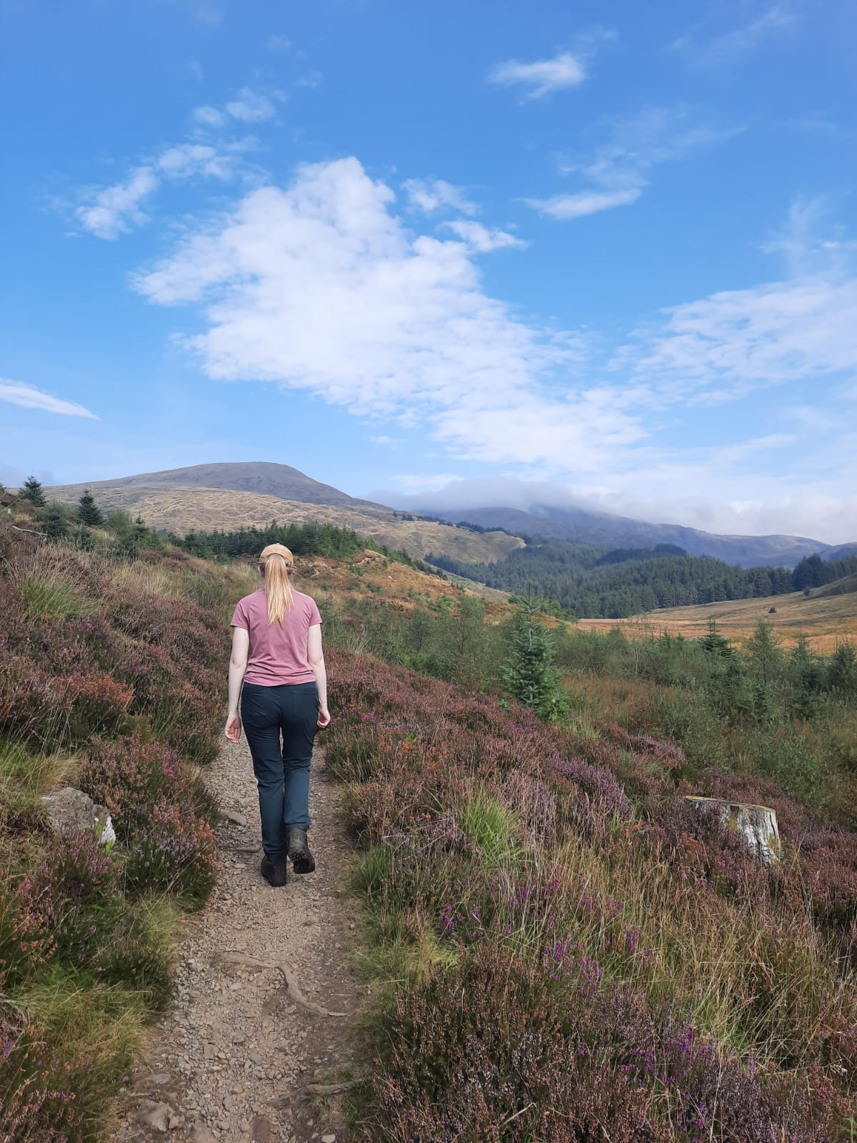
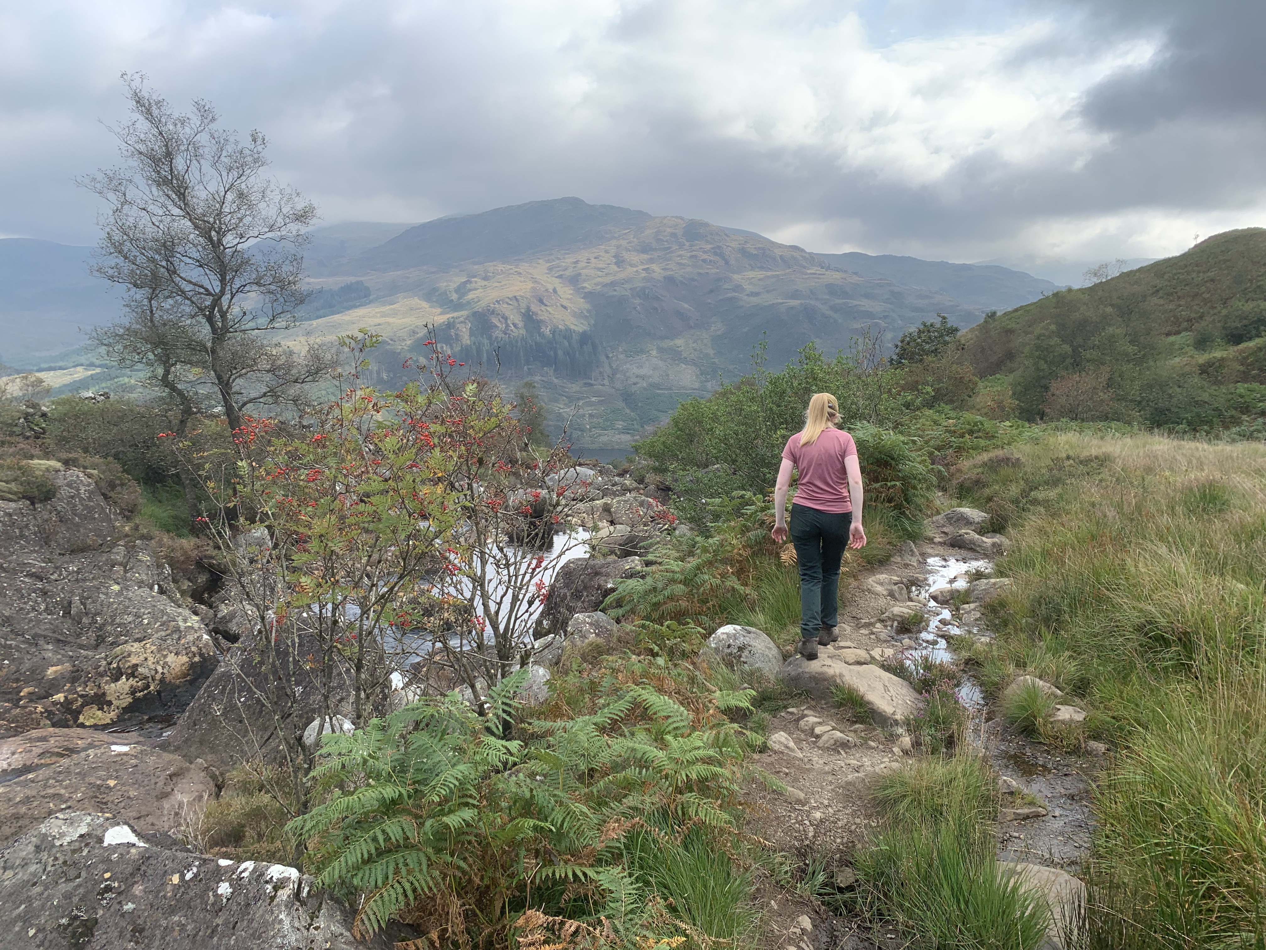
From there, it was a steep but steady climb to the top of Benyellary which had fabulous views down across the two lochs. Sadly, this would be the last views we had a see could see the clouds moving onto the peak. The section between Benyellary and Merrick is a little exposed and is a bit of a ridge walk. Not anything too bad so don’t worry. It is more something to be aware of if the conditions are poor.
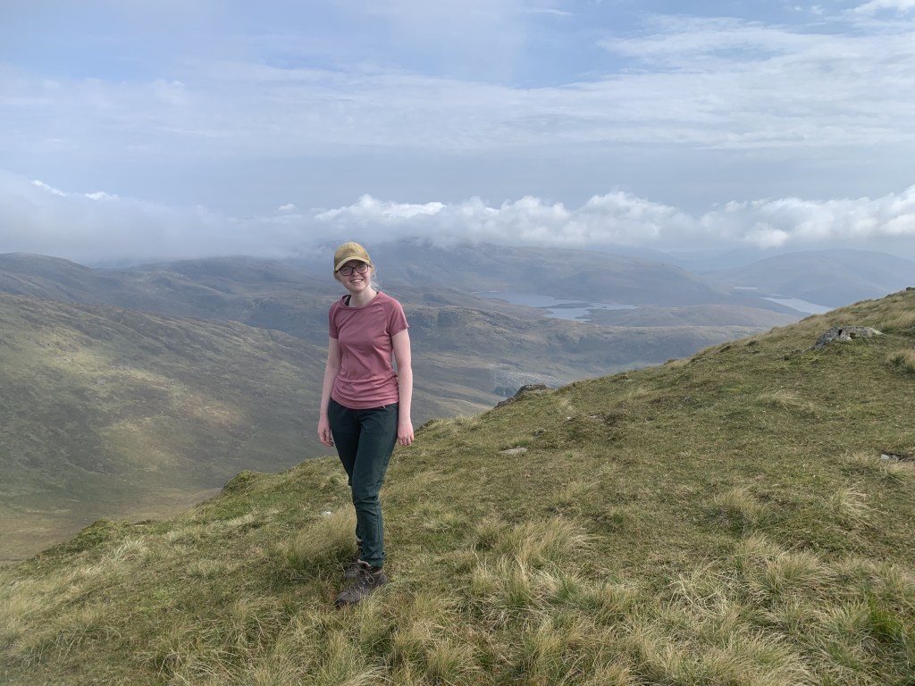
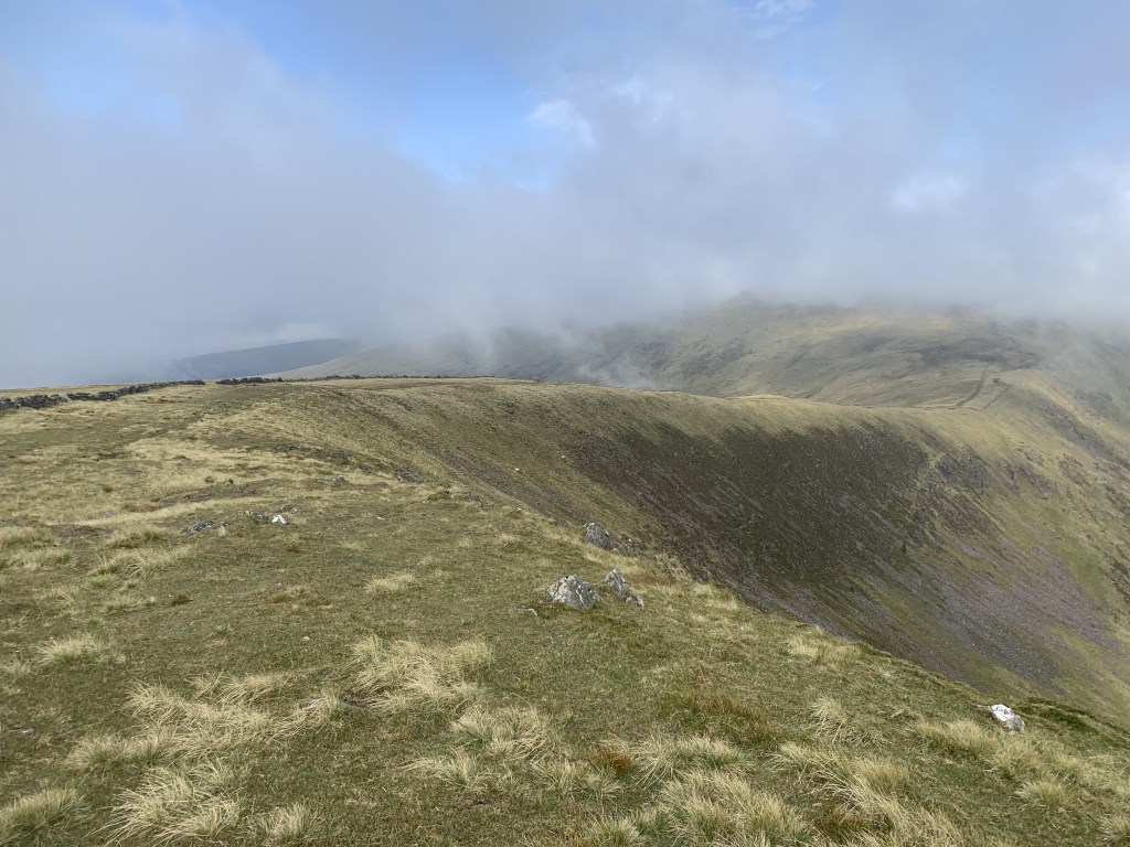
We didn’t stick around at the top due to the poor visibility and wind at the top. Just a quick stop for lunch and then it was back down the way we came. It looks like you can do a bit more of a circular route on Maps Pedometer but, I wouldn’t like to say what the conditions are like in actuality. It seemed as if the area was currently undergoing quite a lot of work by the forest commission as there were new tracks, deer fences and trees being planted. It is always more difficult with forest areas as things seem to change quicker than the maps do. So, with that, we headed back down.
We actually ran the last part of the walk in an attempt to beat the four hours suggested on the sign. We didn’t. In the end we were about four hours and 15 minutes which still isn’t bad going. It wouldn’t be a bad route if you enjoy trail running – just a few rocky areas that you would need to take care. We certainly aren’t trail runners and it was more just a bit of fun to end the route.
Once we were back to the car, it was a case of driving back home! This walk brought our weekend on the Dumfries and Galloway peninsula to an end. It was a fabulous weekend and now we’re deep in winter and I am very much missing the summer of exploring.
Here is the map link and as always, you can also follow the step by step below.
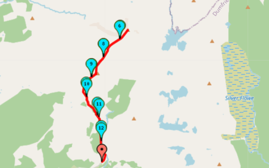
Start Point: Upper Bruce’s Stone Car Park
- Take the narrow footpath uphill at the end of the car park. It is signposted ‘Merrick’ from here.
- Follow the path alongside the river.
- Once you arrive at the (abandoned) bothy, head past it on the left hand side of the bothy following the path until it meets a gravel forest track.
- At the track, complete a short dog-leg (right then left). This takes you through a deer gate and uphill towards a pine woodland. This left turn is also signposted to Merrick.
- Begin the ascent and head through the pines.
- Continue to follow the path as it bends around to the right and continues to climb towards Benyellary. On a clear day, you have views of Loch Enoch from the top.
- Follow the slight ridge continuining straight until you reach the cairn that marks the Merrick summit.
- Retreat your steps back to the car park.
End Point: Upper Bruce’s Stone Car Park
There isn’t much to it in terms of a step by step but, I really enjoyed this walk and it was a great end to a fabulous trip. If you find yourself in the area, I highly recommend heading up here.
Amie x


Leave a comment