I’m super excited to be bringing you a new walk today from a range that has not featured on my blog before! Unfortunately, the Ochill Hills is not a national park but it is nevertheless a beautiful place to explore. Where is it? Just outside the city of Stirling, Scotland! This is a easily accessible from Edinburgh as well as Stirling is just under an hour away on the train. They cover a wide range of area from Stirling to Perth with bordering towns Alloa, Kinross and Auchterader. The route I am sharing with you on this post begins in Stirling.
From Stirling bus station, you should catch the 52 to Alloa. These run every hour but I would suggest heading out reasonably early to get a good start on the day. I went on this walk with my university flatmate and we left at around 9 as you are in a race against the sun in the winter. The days seem to be getting longer though which is amazing! The bus was actually a little more expensive than I was expecting at £5.95 for an adult. You will be getting off the bus at Menstrie which isn’t actually that long of a ride, hence why the price was a little surprising. However, you only need to get a single ticket so that makes it a little bit cheaper than it would be otherwise.
Difficulty: Easy
Distance: 17km (14km option)
Elevation: 558m
OS Map: 366
Notable Features: Colsnaur Hill, Jerah, Loss Burn Reservoir, Myreton Hill, Dumyat
Look Out For: Whinchat, Red Kit, Small pearl-bordered fritillary butterfly.
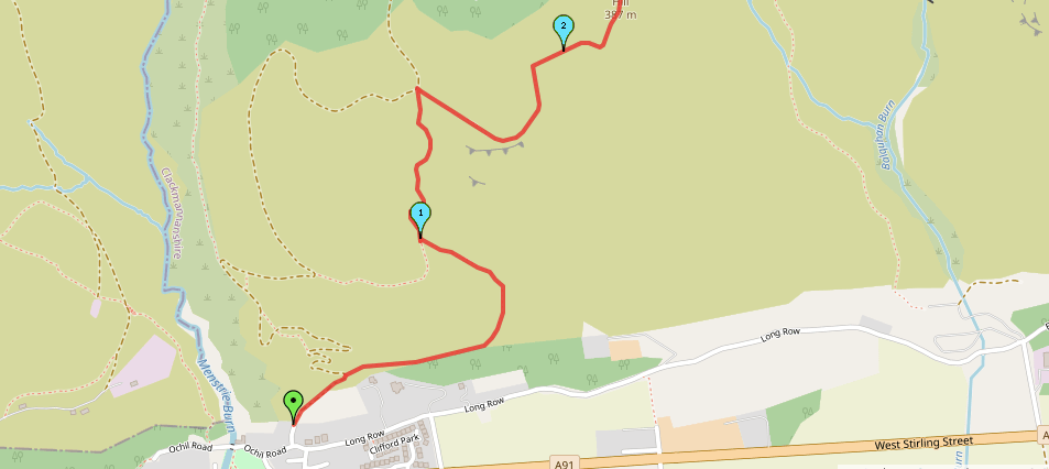
From Menstrie, it was actually very easy to navigate from here into the hills. For a start, you can see them very clearly hugging the edges of the village and they are well signposted. We got off the bus on Main Street, near the War Memorial. Across the green area here, there is a sign which tells you to go left to climb Dumyat and right to head to Jerah. You want to follow the road to the right here. Then, follow the next road on the left to join a track up into the hills.
Now, this was one of the first walks that I have done without Alex and therefore, I was the most experienced hiker so took the lead on the planning, organising and navigating. I made a mistake very early on in this walk but, the good thing about it is that I can now tell you so that you don’t make the same mistake I did. You will take what it labelled on the signs as the ‘secondary’ path which leaves the track after around 200m to the right. The feature you’re looking out for before this minor path bends to the left and up into the hills is a boundary. Here was my issue as they have actually put a new fence in that does not appear on the map and I assumed that this was the boundary. It isn’t. Pass through the gate and then follow the path to the boundary wall. Really, I was being a little silly as there didn’t appear to be too much of a path where we headed up. It involved scaling a tall fence which I was pretty proud of myself for actually doing but….it really didn’t need to happen.
That aside though, this is a very easy route to navigate. Because of the location of the Ochill Hills, you actually have service in this area and I utilised maps.me for the walk as well – this shows all the footpaths. Clearly I should have looked at it from the start…Anyway, once that was out of the way, I managed just fine. There isn’t too much to note on this walk but, there is some steep climbs as well as steep downhills. The descent from Myreton Hill was actually very steep and offered little relief from the uphills. You definitely want your decent hiking shoes on here as one of my companions was wearing trainers and slipped multiple times. I always advocate for a proper walking shoe; you don’t need to spend loads of money on top of the range stuff either.
It is also worth noting that the weather seems always to be very windy up there. This route doesn’t even gain that much height – especially compared to some of the other ranges in Scotland and that have featured on my blog thus far – however, it always seems to be blowing a gale up there. Be sure to check the mountain forecast for Dumyat before you go.
There is also the option to cut this route short and get the bus from the University of Stirling campus at around the 12km back to the city centre. From this point onwards you are walking along roads so you don’t miss out on anything if you opt to do that.
As always, you can check out the route for yourself through this link or follow the step by step below.

Start Point: Menstrie War Memorial/Fox Boy
- Head down the footpath through the green area and turn right down the road. Follow the signpost for Jerah.
- Take the next road on the left which shortly becomes a gravel track.
- Head through the gate and, in around 200m, take the grass path on the right near the information/map board.
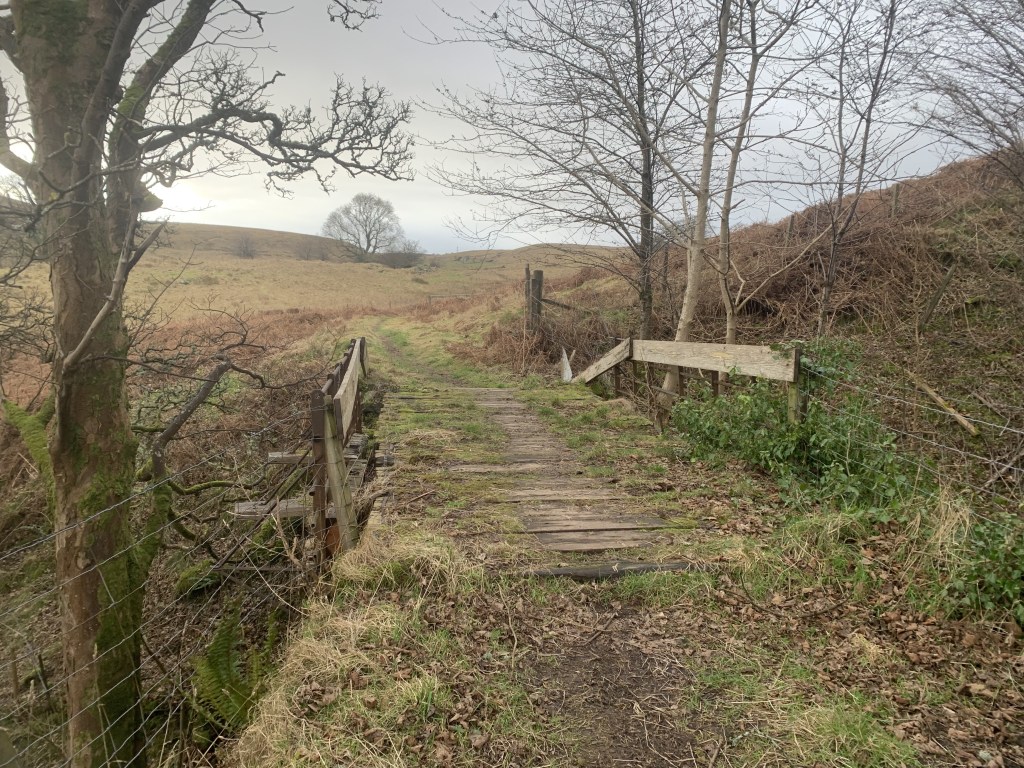
- Follow the path through the gate and alongside the boundary wall.
- Continue following this path as it curves around before passing through a gate.
- Continue following this path straight until it meets the gravel path once again.
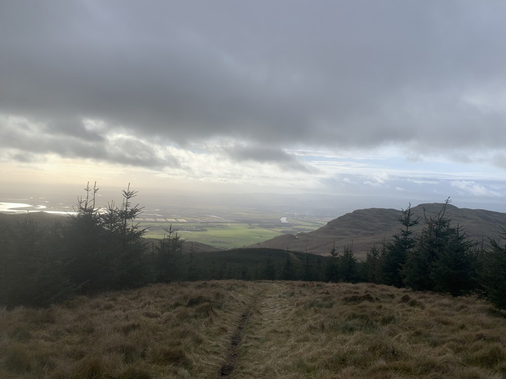
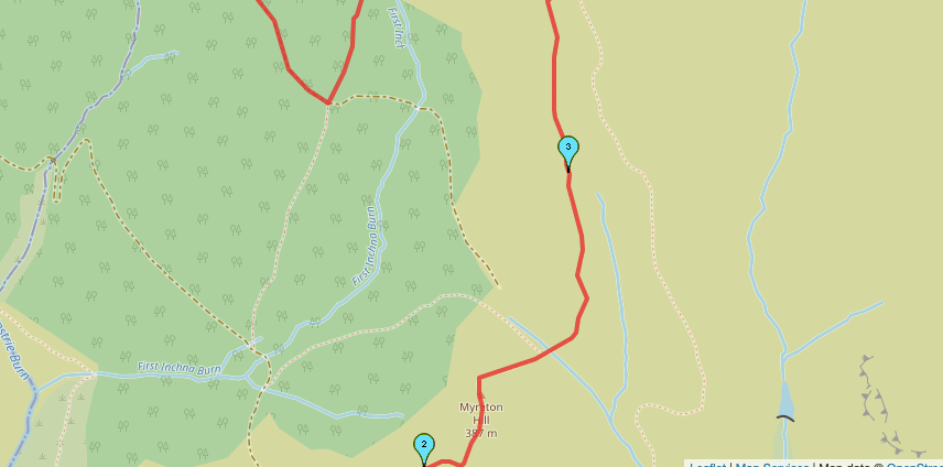
- Take the path on the right and follow it up hill. Continue up to reach Myreton Hill.
- From this peak you should be able to see Colsnaur Hill, the next peak, in the distance.
- Head downhill down a steep path and cross a small stream/boggy area.
- The path meets a gate. Stay on the right hand side of the fence and continue upwards.
- Climb over the stile and continue to Colsnaur Hill.
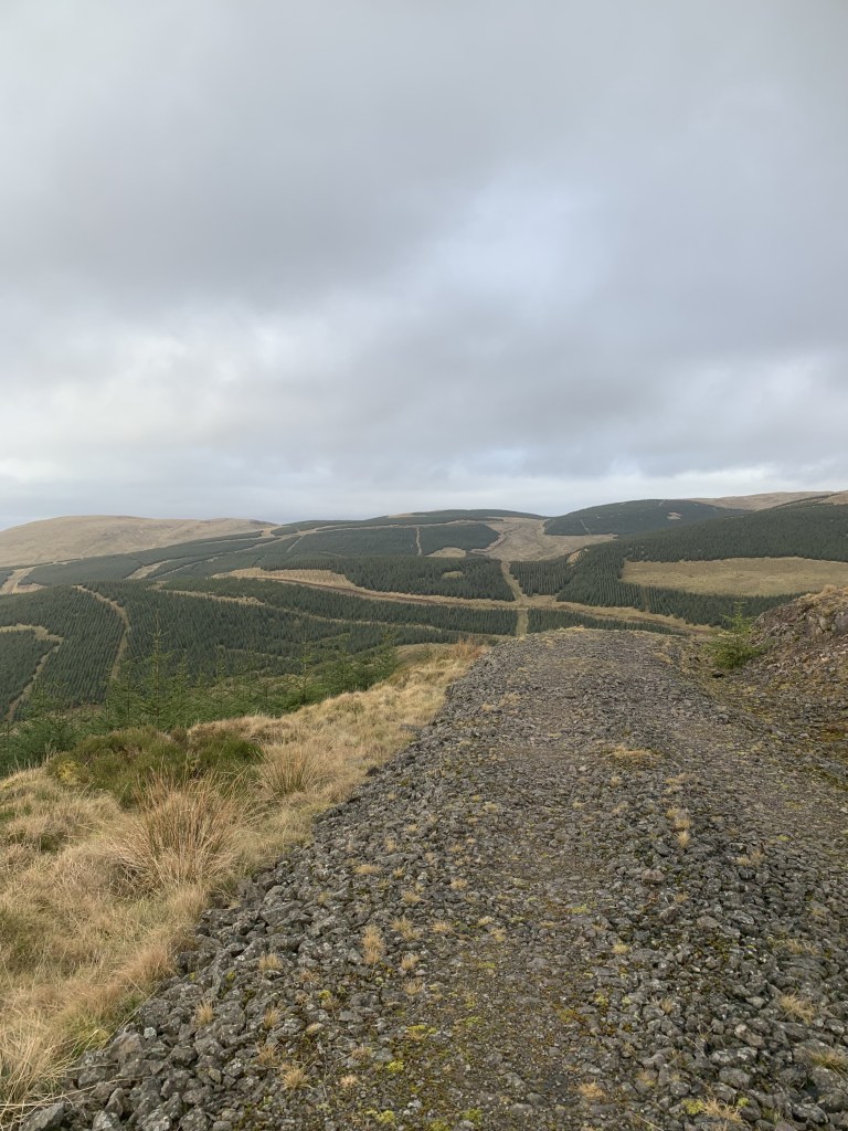
- From the top of Colsnaur Hill, take the path down to the right, towards the forest area.
- Continue to follow this path until it meets the track. Follow the track around the ravine.
- Once you have gone around the gully with the stream in the middle, take the next path on the left off the track.
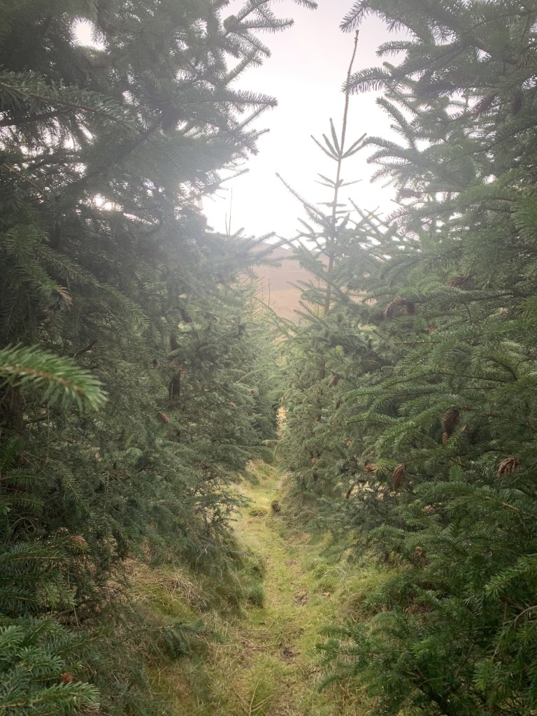
- Continue down this narrow path through the pine trees until it meets another gravel track.
- Turn right down the track, following it around and over another stream.
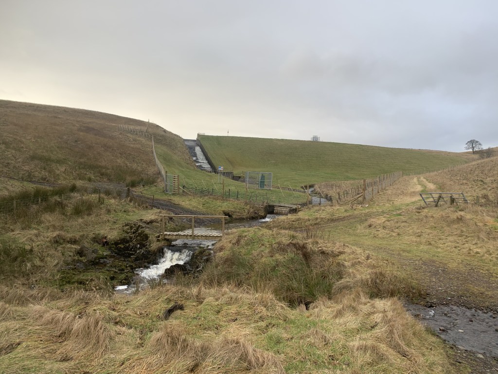
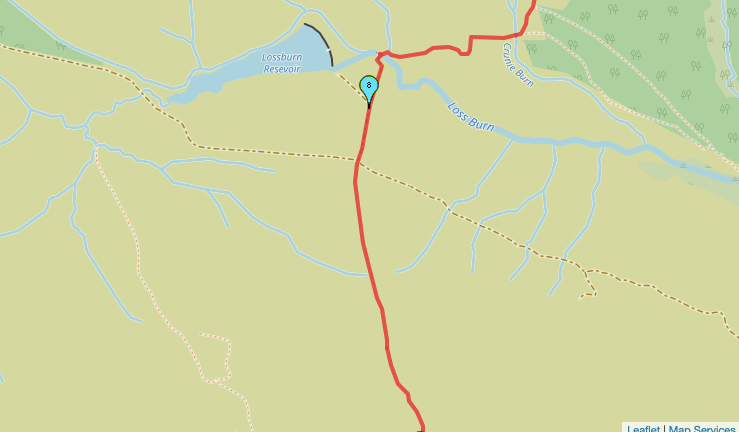
- Continue straight, ignoring the track when it veers off to the right. You should be walking in the direction of the reservoir which you can see in the distance.
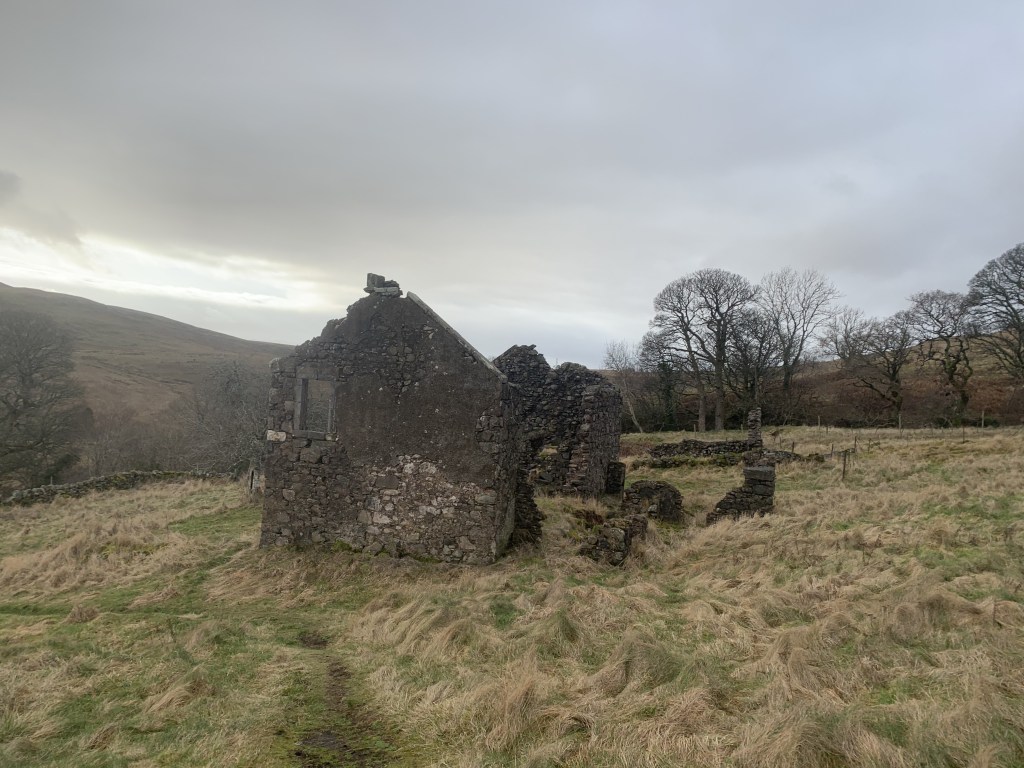
- Follow the path past the old ruin to the reservoir.
- Cross the small stream and head straight. When you reach the crossroads of the tracks, take the path straight ahead towards Dumyat.
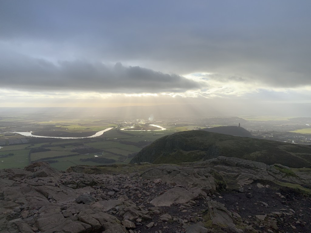
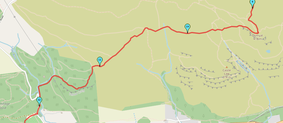
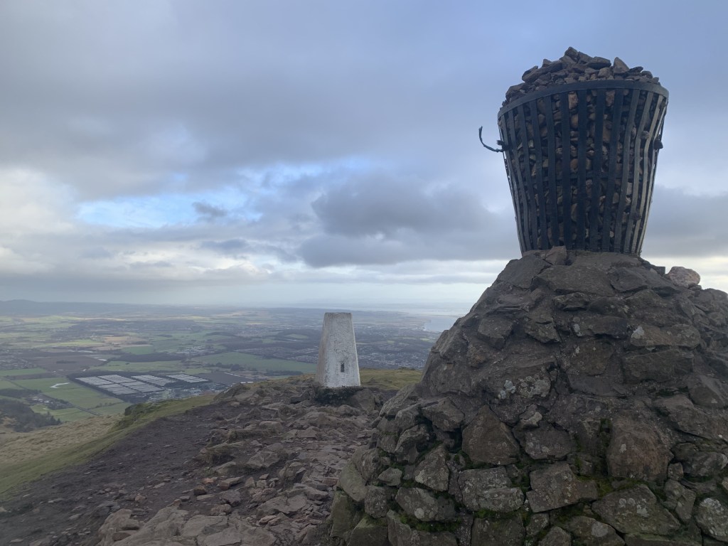
- Follow this path straight up to the peak, passing through another gate on your way upwards.
- Once you have reached Dumyat, take the path down towards the right. This is a very well trodden and popular route so you should have no issues.
- Pass through the gate and continue straight.
- The path diverges, one way is tarmac and the other a grassy path that heads down towards the trees. It is the second option you should take.
- Follow this grassy path down to the trees, eventually passing through a gate into a woodland.
- Take the path on the left directly after you have climbed the gate.
- Follow this path as it follows a cliff edge and downwards to a river.
- Cross the river via the stepping stones and head left down the road.
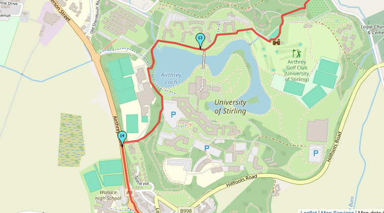
- When you reach a car park on the right, follow the path at the back of the car park that leads to the University of Stirling campus.
- You may get the bus back to the city centre here or continue passing through the campus and down the hill past the Institute of Sport to the main road.
- Turn left at the bottom of the hill, passed Wallace High School and turn right at the roundabout down Causeway Head Road.
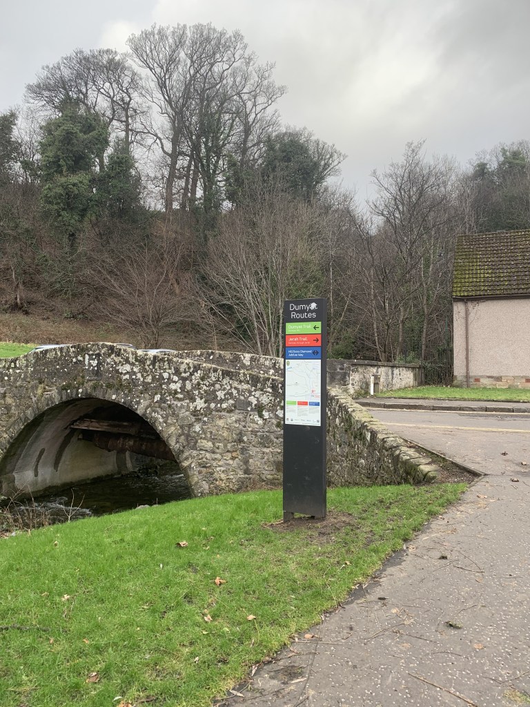
- Continue straight down this road and under the bridge.
- When you reach a traffic light pedestrian crossing, cross the road and over Stirling Bridge.
- From here, turn left at the end of the bridge and head straight under the two pedestrian bridges and passed Tesco supermarket.
- When you reach the end of this road, turn left to head back down to the train station, bus station and city centre.
End Point: Stirling City Centre
I hope you found this walk interesting. I really recommend heading out into the Ochill Hills if you ever find yourself in the area!
Amie x


Leave a reply to Walking the Tillicoultry Glen and Andrew Gannel Hill | Ochill Hills – Explore with Amie Cancel reply