This walk begins at Bowness-on-Windermere which is a place that I drive through often but never really stop. That’s mainly because it’s so busy and we’re usually off on some Wainwright bagging adventure elsewhere in the Lake District. However, on a wintery day, when the cloud base isn’t good enough to get up high, a shorter route from somewhere like Bowness is ideal and, not only that, this one has some fantastic views over Lake Windermere.
We parked at Glebe Road Car Park which is one of main car parks in the town and can get incredibly busy on a weekend. Luckily though, this was a weekday and we arrived early so in the end, we were the first car there! It is quite an expensive car park, as most in the Lakes are but, you should only need around 3 hours or so for this walk at a maximum. You may also be able to find street parking nearby that’s free of charge but do watch out for the residents only signs!
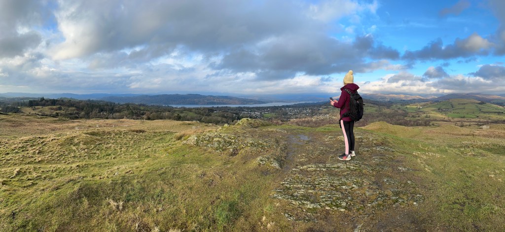
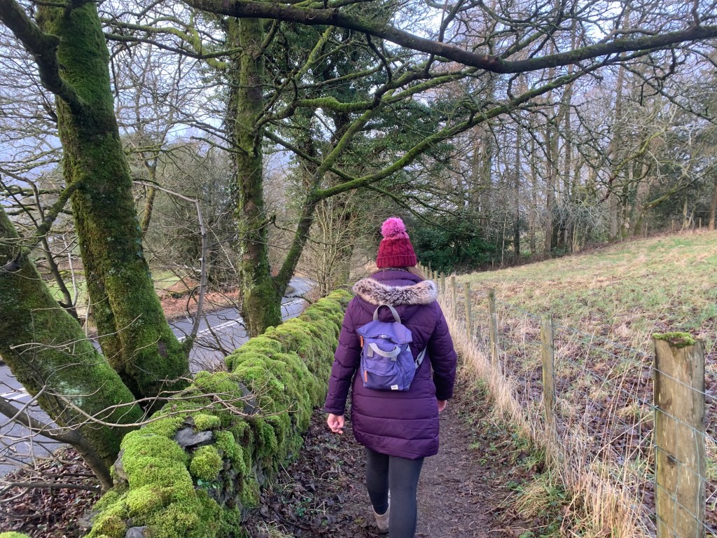
From the car park, follow Lake Windermere back towards the Pier and head along the main road into the town. Across from the church, just before the Tap Yard restaurant, you take a road on the right and so begins a rather steep climb out of the town. You get most of the hard work done early on this walk as the street soon becomes a footpath that is actually part of the Dales Way! Maybe I’ll rewalk this path someday as part of the long-distance route. It’s at this point though, as you reach the bench upon the hill that you need to turn around. On a clear day, you can see across Lake Windermere, with Wray Castle ahead and the Fairfield Horseshoe just about visible towards the right, where the lake bends around to Ambleside. It really is a beautiful view and you really don’t have to walk very far to get to it. You’re only about 1km in at this point!
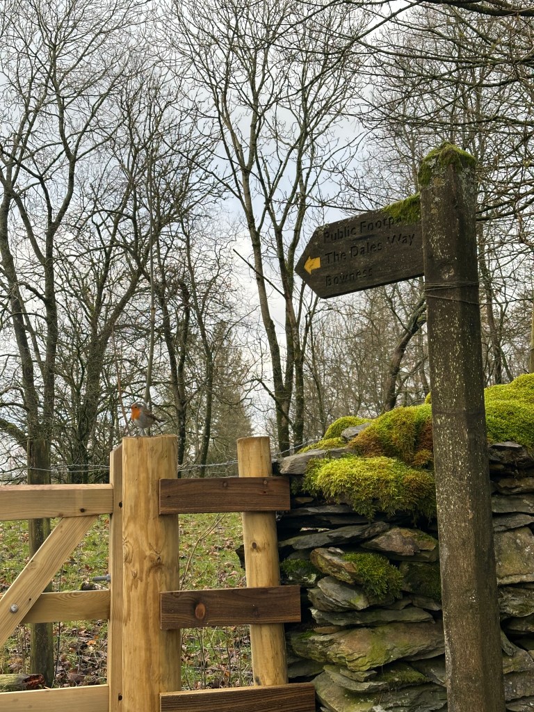
Soon, the grassy path meets a track. Turning right would take you towards Brant Fell but, this route heads to School Knott first so left is the way. Head straight across the first road, following the footpath ahead. Keep the boundary wall on your right initially and then head through the kissing gate on the right to cross the next field. Soon, the path meets a road and sadly, there is a little bit of road walking in this route. It’s not too drastic and most of the roads are quiet country lanes so you don’t need to worry about too much traffic. This part is very short lived though as you soon head back onto a footpath to skirt the farmyard. At this stage, you’re still following the Dales Way.
Once you’ve passed the farm, and met up with the road, make sure to turn left and head down Lickbarrow Road. It is here that you leave the Dales Way behind. You’ll pass a series of houses and driveways and then reach a lane on your right. This should also have a wooden public footpath sign too, so you’ll know you’re on track. On this lane you’ll pass High Lickbarrow which is an old farmhouse that is now a National Trust property. It isn’t open to the public like most properties they own but tours can be booked in advance. The Bottomley family that originally owned the house took a rather traditional conservation route with their farming and so there is a huge amount of biodiversity on their land. The area is now a Site of Special Scientific Interest because of the rare wildflowers growing there. It doesn’t look like much when you walk by, just a lovely home, but it has an interesting role in the landscape.
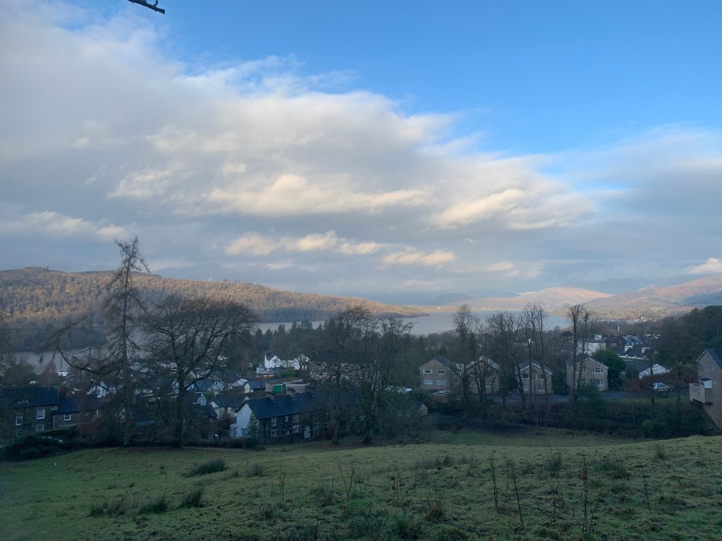
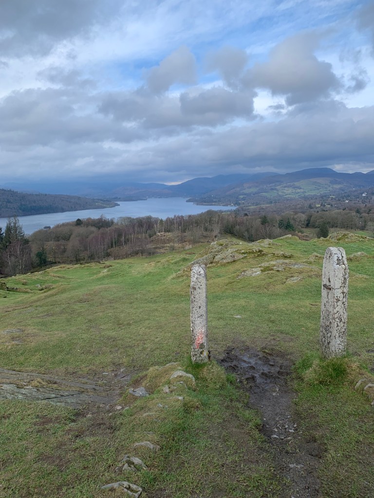
Continue following the road passed the property, crossing a bridge over the river before coming to a footpath on the right. Follow the path on the right and continue straight to begin the gradual climb towards School Knott (232m). Like the opening of the walk, this has some fantastic views down to Bowness and across Lake Windermere. I can see why Wainwright included School Knott in his Outlying Fells as it’s super accessible for a family-walk and has the views with much less effort involved. Admittedly, it was very windy on this day so we didn’t stick around long before continuing on.
After heading down to School Knott Tarn, follow the path on the right, to the gate in the bottom corner of the field. You’ll also see the classic Lake District Herdwick sheep and Belted Galloway cattle, distinctive black and white cows that can also be found near Tarn Hows.
Soon, the path becomes a lane and the lane joins to the main road. However, there is a path on the right hand side, protected from the traffic by a stone wall so you don’t need to worry at all. This road passes alongside Windermere Golf Course. Then, take the lane on the right towards Low Cleabarrow Business Centre as you’ll rejoin the footpath beside the Centre.
All paths off Brant Fell, in the opposite direction to the ascent, will take you back down to Lake Windermere. However, we took the path towards Post Knott which has some benches and a nice viewing area, and then veered to the right to meet the path which we used to leave Bowness initially.
With this walk, you get two small peaks, incredible views and easy access from Windermere. You really can’t ask for much more in 10km short walk. As I said, it’s a fantastic one for a morning, or afternoon out in the Lakes when the cloud base is low, or you’re looking to start your walking journey.
Usually, I finish these walks with a step by step description of the route however, this one was adapted from Cicerone’s guide to 15 Short Walks in the Lake District: Windermere, Ambleside and Grasmere. The walk described in the guidebook tackles just School Knott and returns to Windermere, but the addition of Brant Fell is easy enough to follow, too. It’s a fabulous route and you can see route on Mappedometer but, to get the full route description, I’d highly recommend the guidebook.
Let me know what you think of this one!
Amie x

Leave a comment