On a rainy day, what better wainwright to tackle than Castle Crag, the smallest of them all. At 290m, this wainwright is a baby compared to the likes of Scafell Pike and Helvellyn but, it is nevertheless well worth the trip to the top. Plus, you get to walk a short section of the Cumbria Way too!
The route begins from the village of Grange. The challenge here is the lack of parking with just a few spaces outside of the church on the right, just as you cross the bridge into the village. It looks as if there is more parking at the campsite which cuts off around 2km of this route but, it is only for patrons of the campsite and so is not open to the public. Despite the lack of spaces though, parking is free and we managed to get a space easily.
Difficulty: Easy
Distance: 6km
Elevation: +235m
OS Map: OL4
Notable Features: Castle Crag, Grange Village, Bowder Stone (nearby)
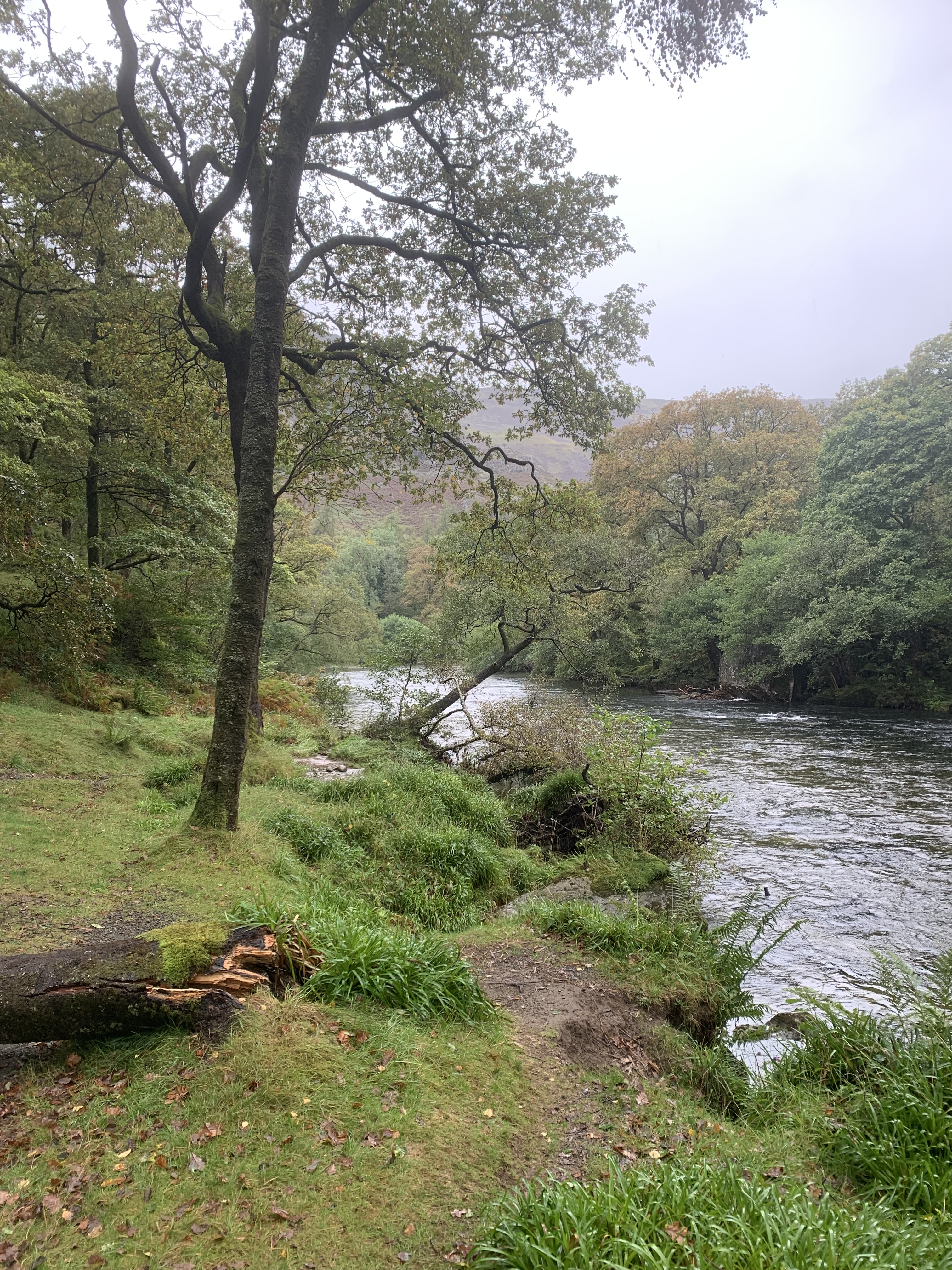
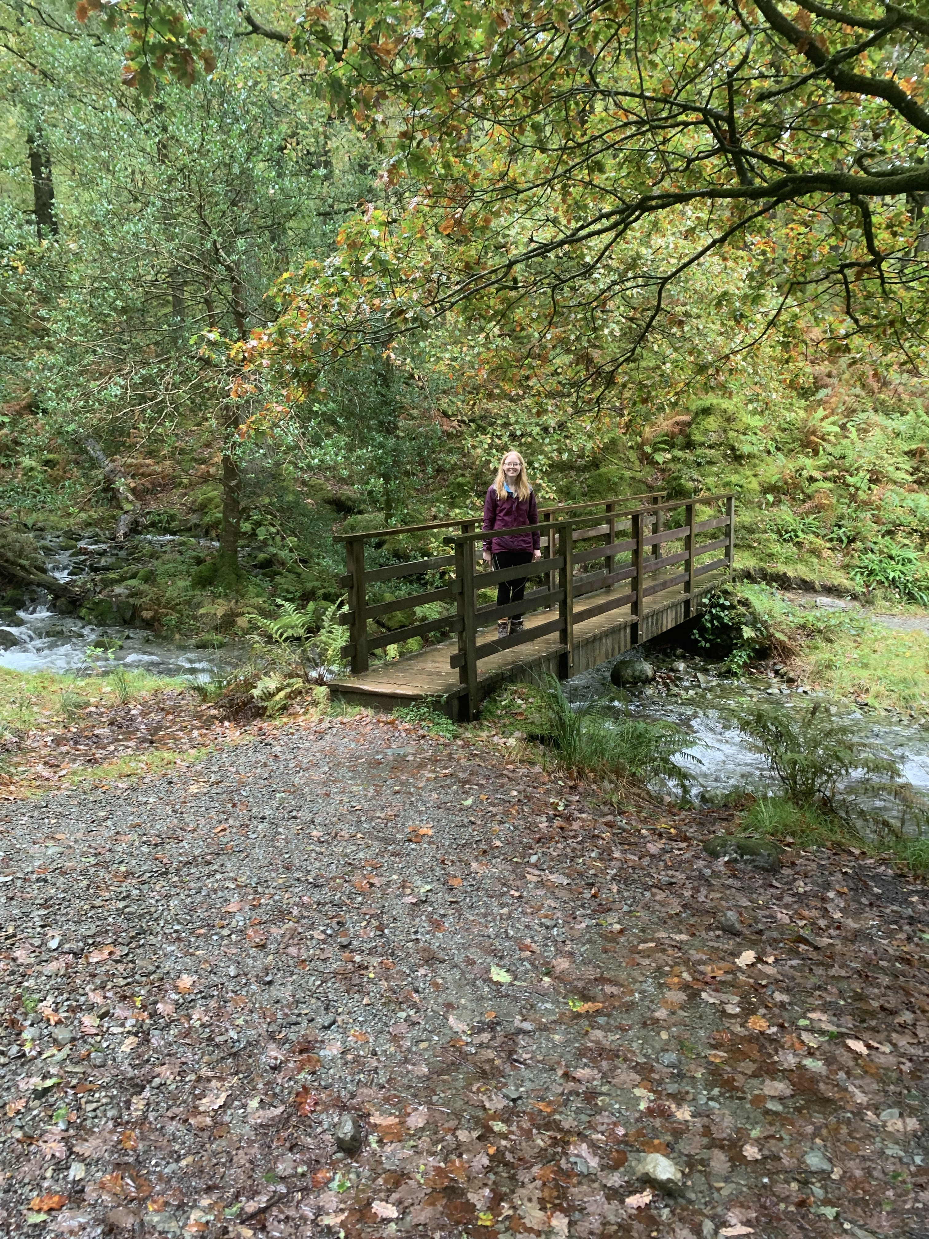
From the church, you walk through the village before turning left after the cafe and heading down the lane towards the campsite. Soon, the lane becomes more of a path and menders alongside the river. It was here that we realised we’d walked the path before as part of our Cumbria Way journey. I believe it was on day four when we headed from Borrowdale to Keswick via Catbells. It looked very different on this recent visit though as all the rain we had been having meant that the river was much wider than it should have been and at this point, we were walking the opposite way down the path.

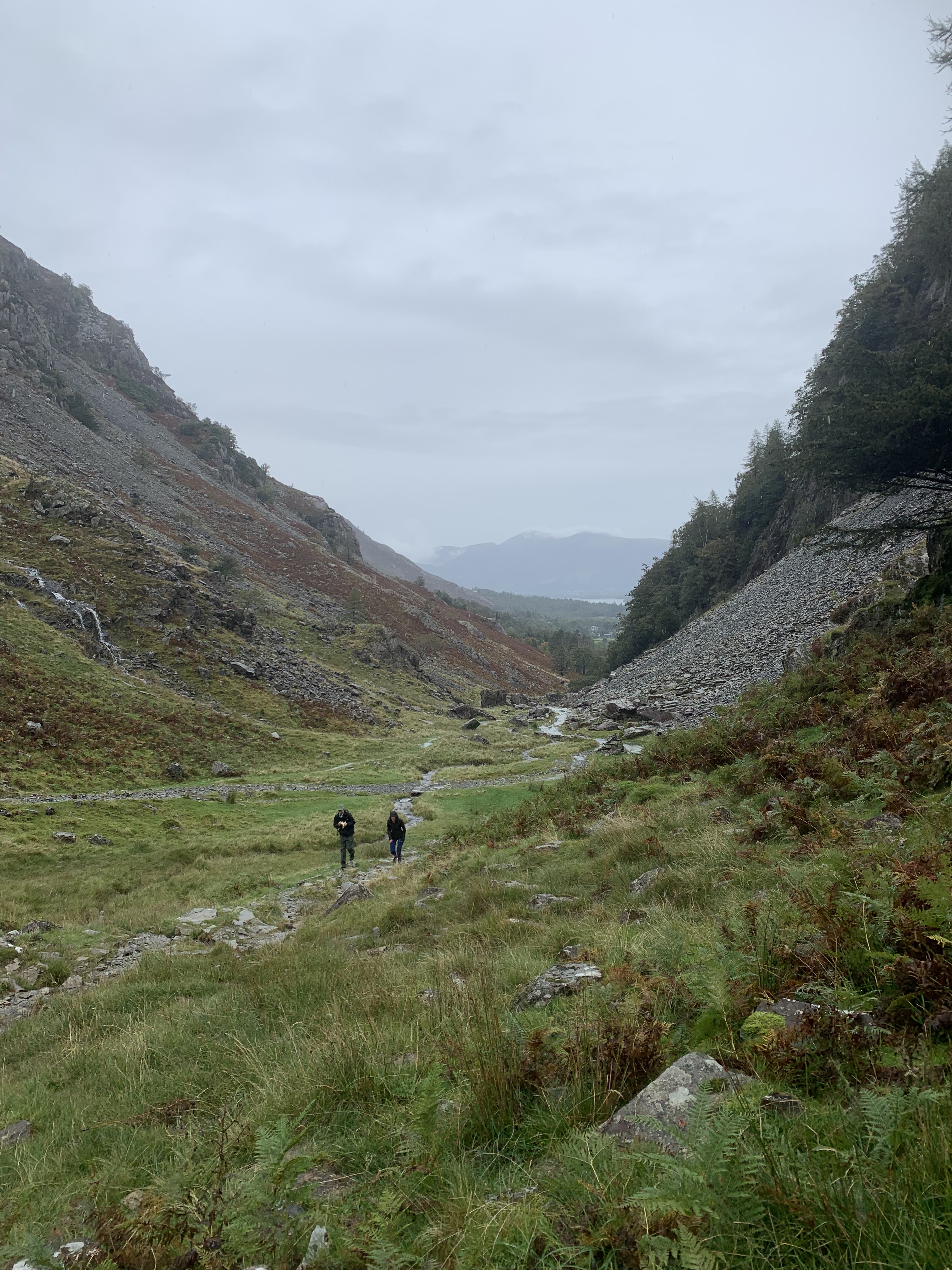
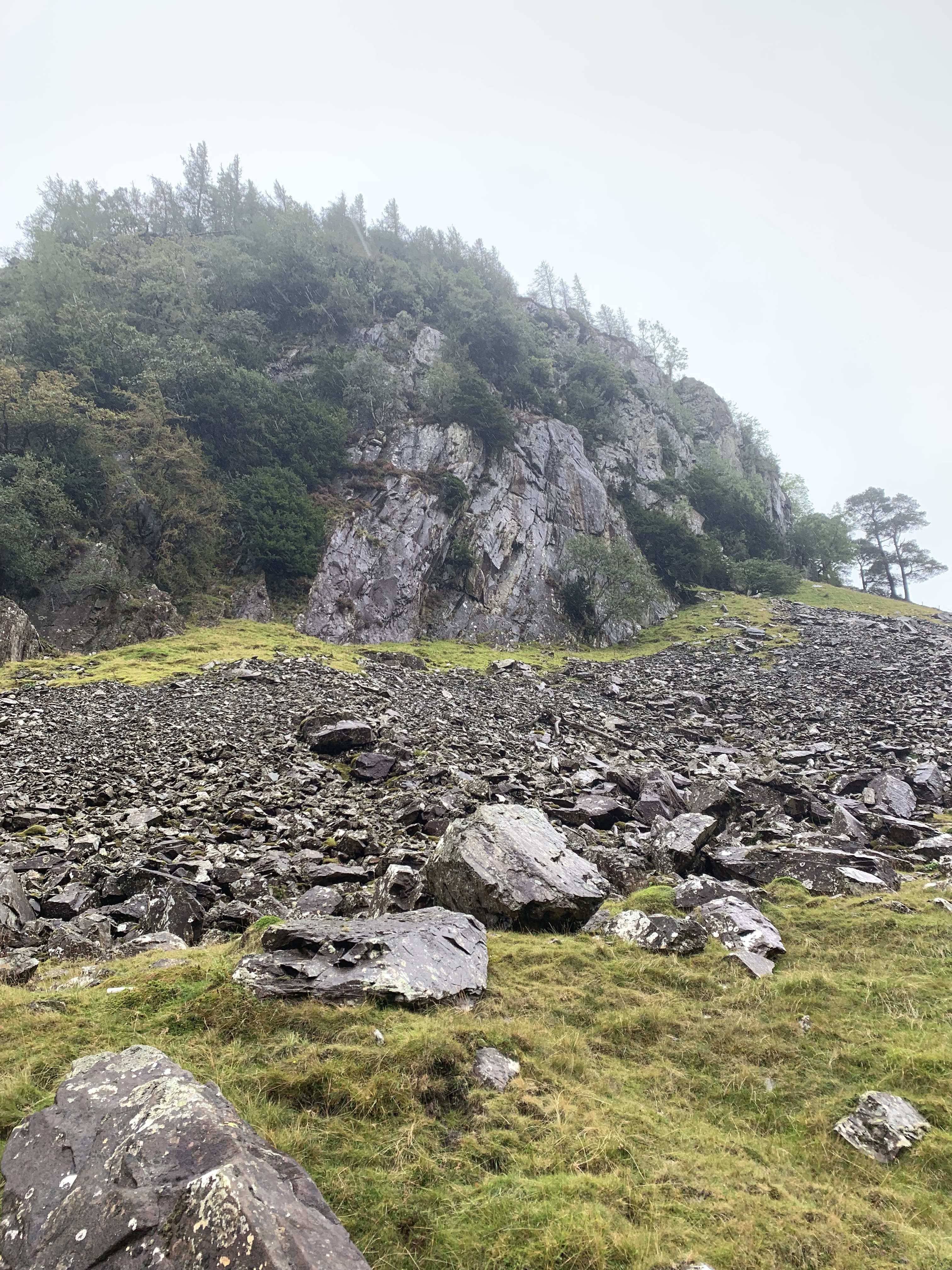
After entering the woodland, we took a path to the right and began the ascent up next to a gill towards the summit. It is a fairly easy ascent; not too steep and very accessible for beginners. The steepest section is the final climb up a little bit of slate to the summit. I still think this is very doable though as it doesn’t require any scrambling or anything remotely like that. You can just walk up and down as you normally would.
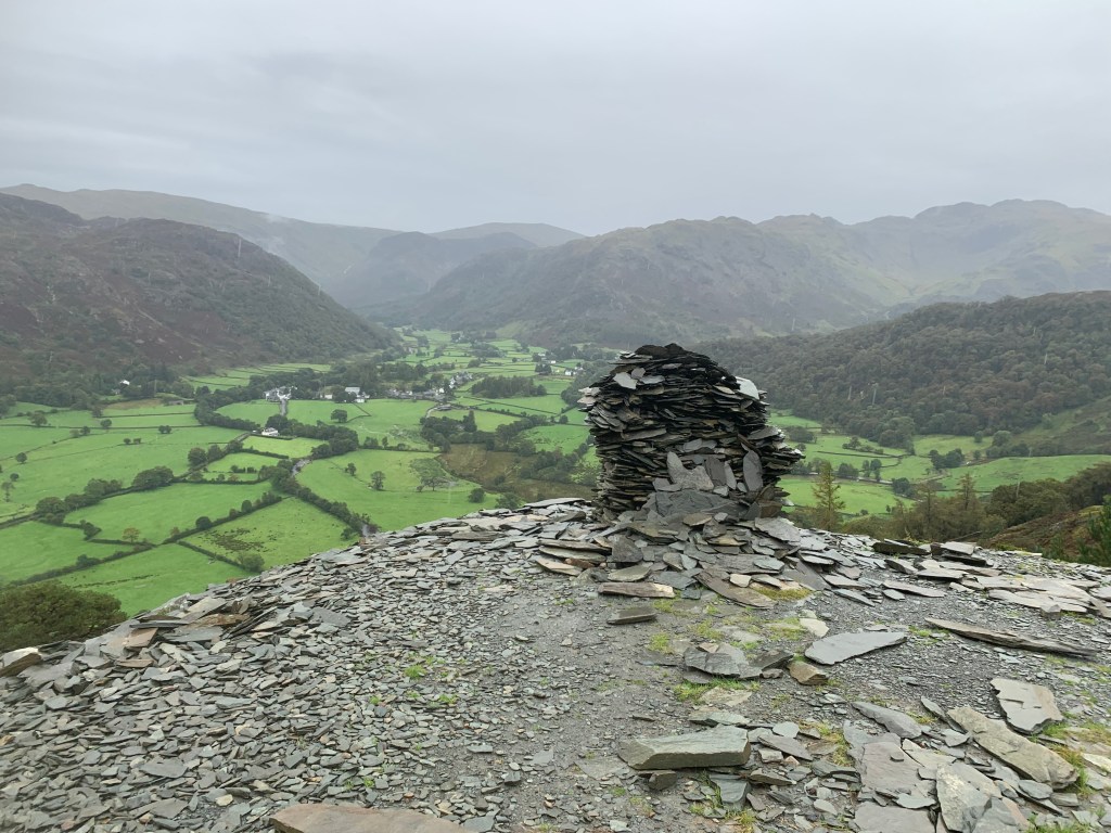
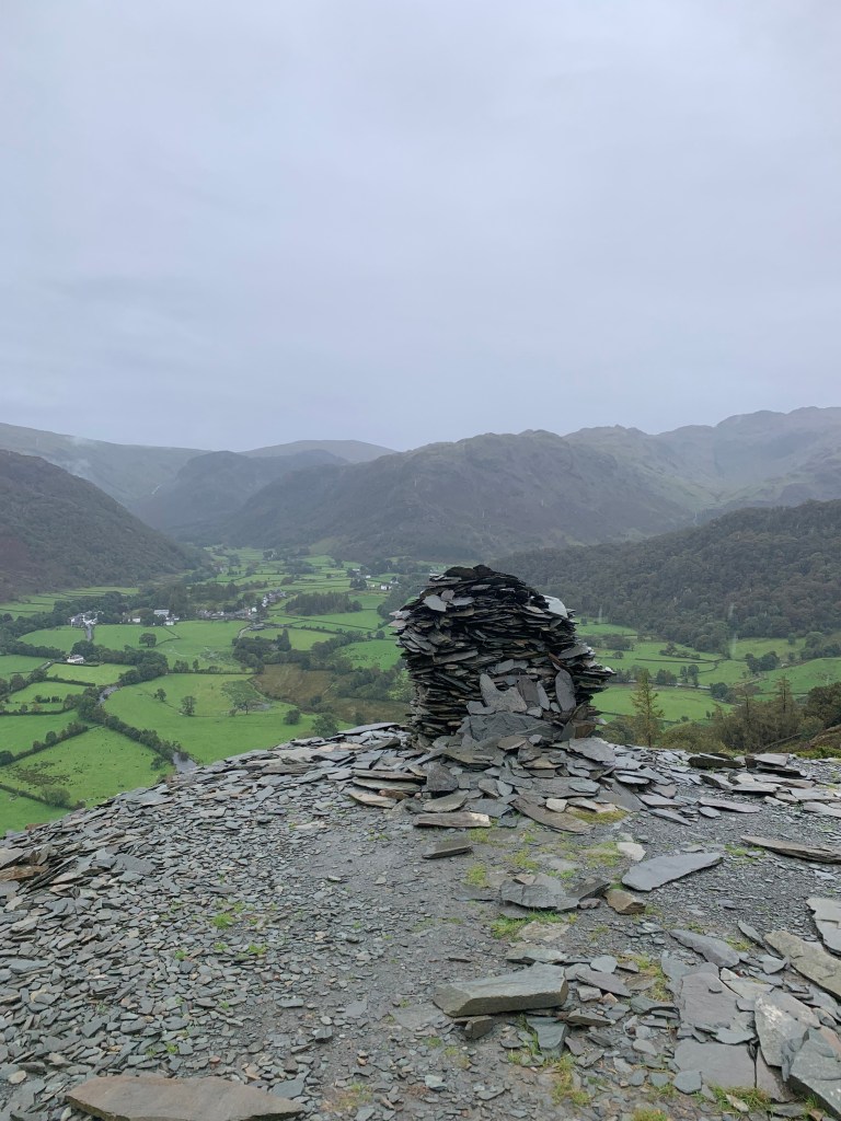
Despite the miserable weather, we did get some quite nice views from the summit so I can only imagine what it’s like in the sun! We could see across to Catbells which was nice as my sister, Megan, was with us for both this walk and the Cumbria Way.
The walk is mostly circular and we descended Castle Crags first back down the slate and then bearing left, crossing a stile and walking down through the grass towards the river. Walking along the river, you soon rejoin the path that we left earlier on the ascent. Simple!
This is a great short walk in the Lakes that just takes a few hours to complete. It’s great for a rainy day or just an afternoon.
Here is a step by step or view the map here.
Start point: Grange Methodist Church
- From the church, head further into the village. Bending right with the road.
- Then take the next road on the left, just after the cafe, heading towards the campsite.
- Continue down the lane, passed the campsite and entering the woodland area, with the river on your left. Once you reach two footbridges, bear right and begin the ascent up the gill.
- Follow this path for approximately 1km before leaving the major path and taking a smaller one on the left.
- Pass through the gate and continue straight following the path as it bends to the left.
- Take the path up the slate to the viewpoint. Take a picture before continuing upwards to the peak of Castle Crag.
- Descend back down the slate. Once you’ve reached the bottom, keep left to head over the stile and into the field.
- Follow the path down towards the river.
- Pass through the gate and the turn right to follow the river.
- Continue straight through the woodland and then back down the lane towards Grange.
- Retrace your steps to the car park.
End point: Grange Methodist church
Have you bagged this one?
Amie x


Leave a comment