
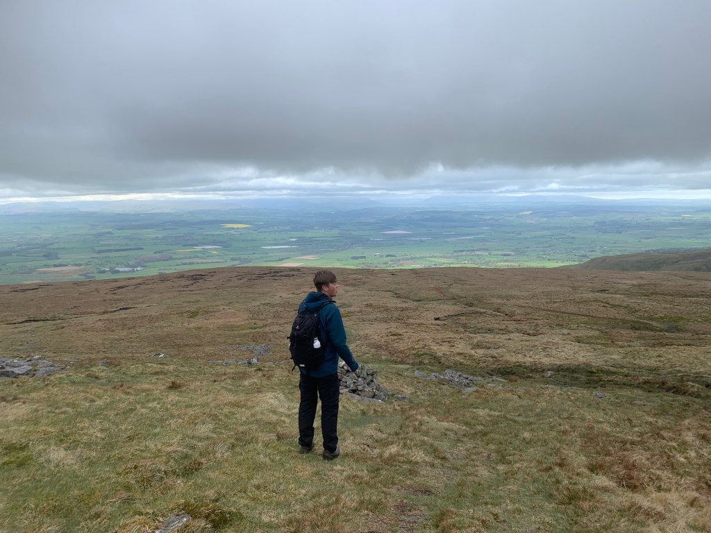
This past weekend was only the second time I have ever visited the North Pennines. We first did a walk here last year when we explored High Cup Nick and I fell in love with the North Pennines then. Despite miserable weather on the ascent and thick cloud cover at the top of the peak, I fell in love with it all over again the second time around. We certainly didn’t have the best weather conditions to bag the highest peak in the North Pennines but, it was definitely worth it regardless. In recent weeks we have been having some brilliant sunny weather, luck would not be on our side today!
I believe that there are a couple of different options of places to park to tackle Cross Fell but, my recommendation would be the small village of Kirkland. There is a very small gravel parking area across from Kirkland Hall Cottages so, you may want to arrive early during peak times. However, the parking is free and you get a very satisfying circular route right back to the car.
Difficulty: Easy-Medium
Distance: 15.72km
Elevation: +760m
OS Map: OL31
Notable Features: Cross Fell, Greg’s Hut
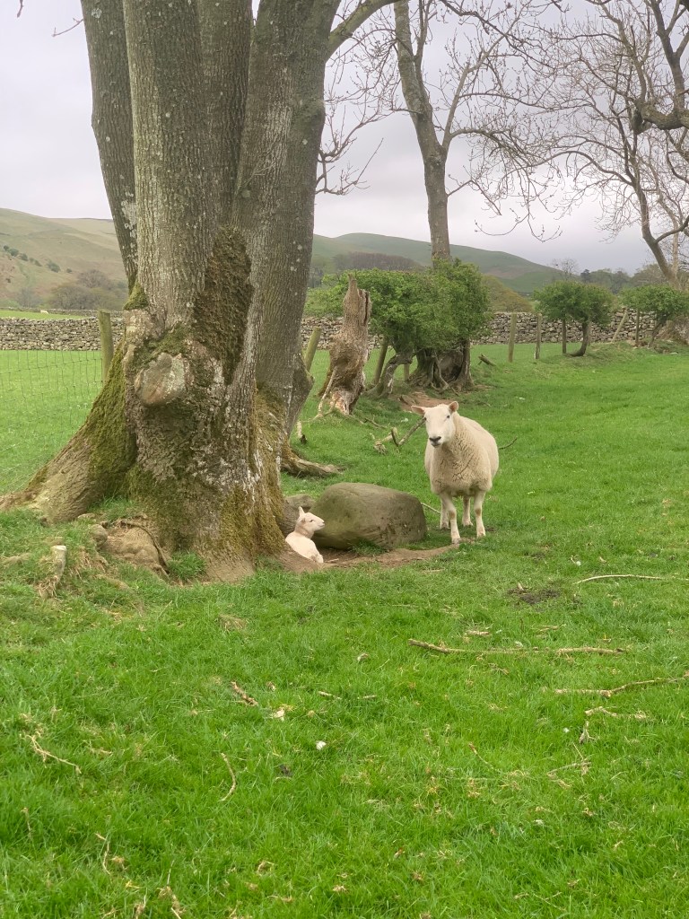
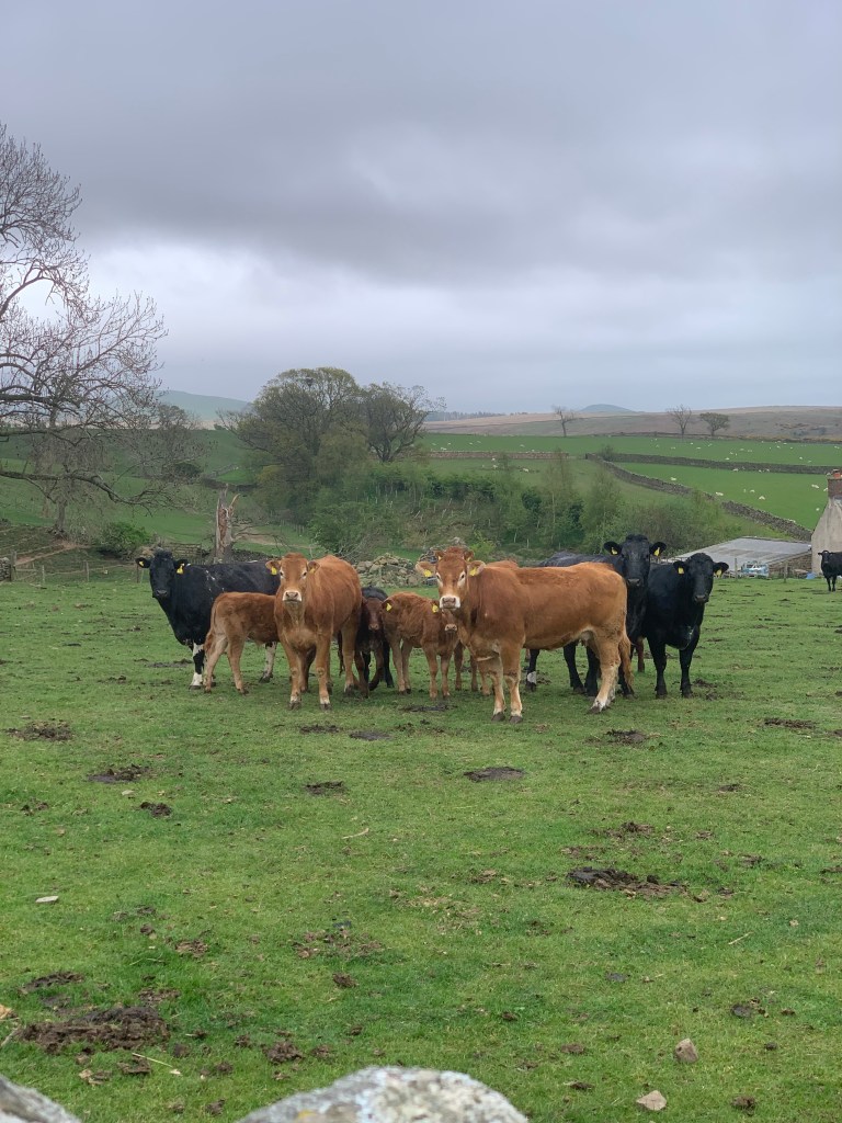
Look out for: Hares, Calves, Lambs
The walk begins by heading through some farmers fields and here we had our first diversion. There were young calves and cows in one of the fields and so the farmer had put a diversion in place. I don’t mind that at all. It’s the farmers land and I personally would rather walk away from the cows anyway, especially in this instance when they had young and were already appearing very inquisitive and defensive. It is only a very small bit out of the way so it was no bother at all. It was adorable to walk through the fields of lambs and see the calves from behind the wall.
From the farmyard, its an easy walk down a farm track that comes to a lone house. It was beautiful and it would be incredible to have these hills right on the doorstep. Very much out of the way – perhaps too much for us! The path then becomes a grassier and passes through gorse bushes which are amazing. The way that the yellow flowers stand out even from the top of a mountain, is incredible. I think they’re really beautiful at this time of year.
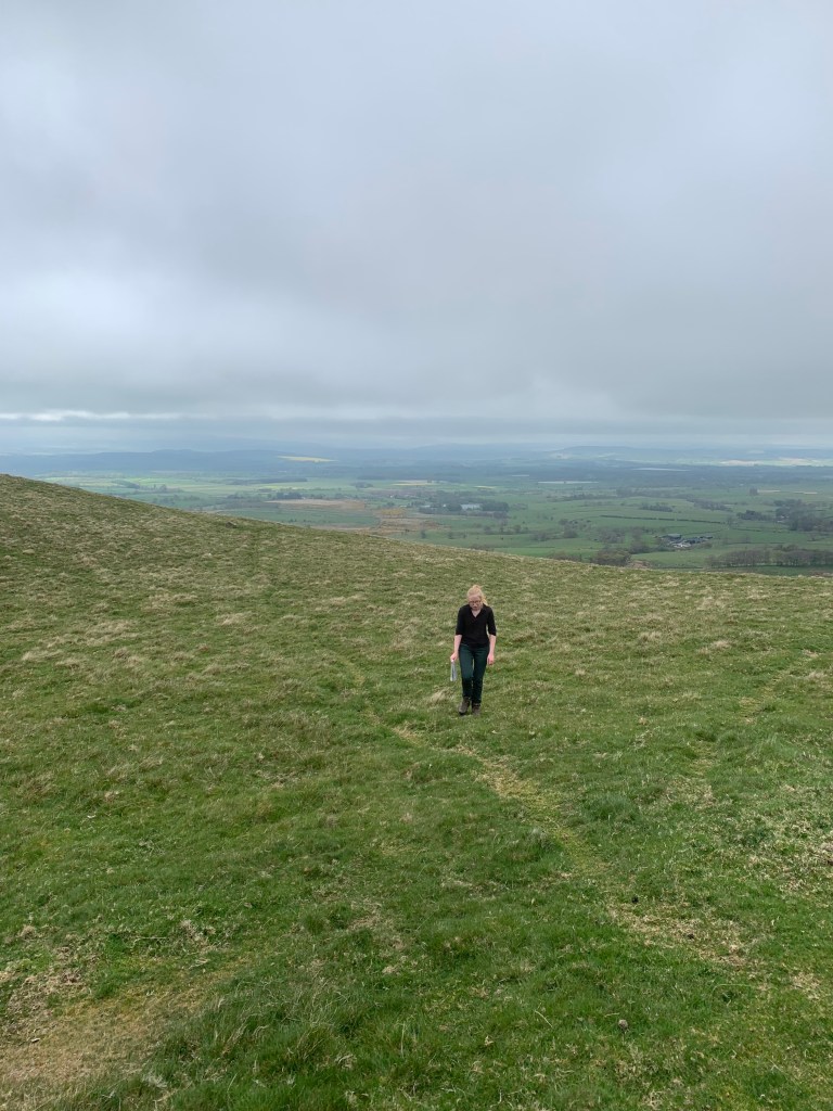
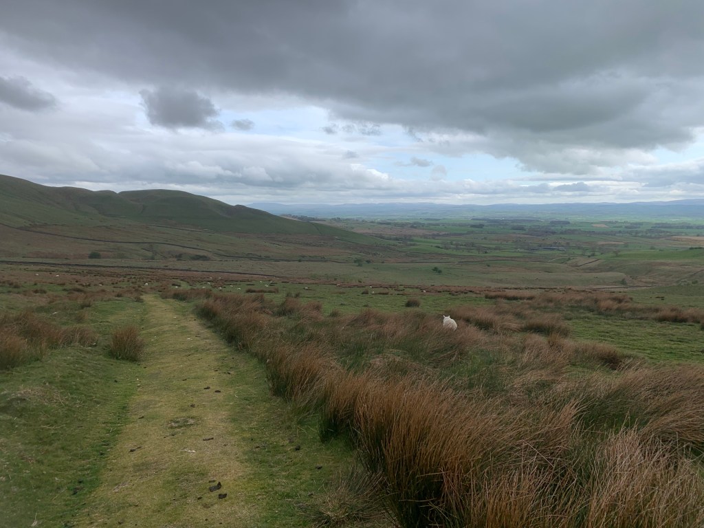
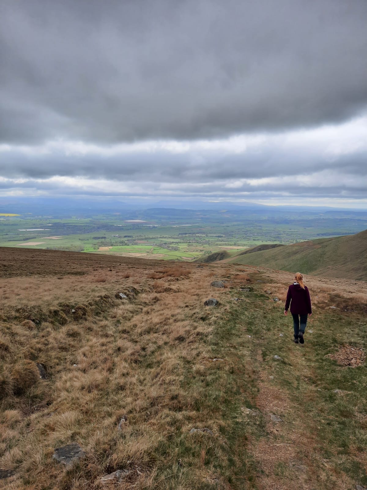
After passing through some sheep pens, we went a little off piste. It was my fault really because I was carrying the map and should have been paying more attention. We were a little off route so decided to head up Moray Hill instead. We were originally planning on taking the more major path that skirts the hill on the right hand side rather than to the peak. This is a hill on the small side at 390m but it is a fairly steep climb to the top. And the climb doesn’t stop there as you head up towards Wildboar Scar. You can feel this one in the thighs when you get to the summit! Be sure to turn around for the epic views across to the Lake District…apparently!
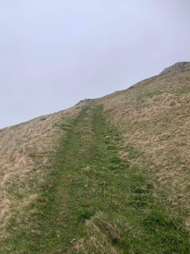
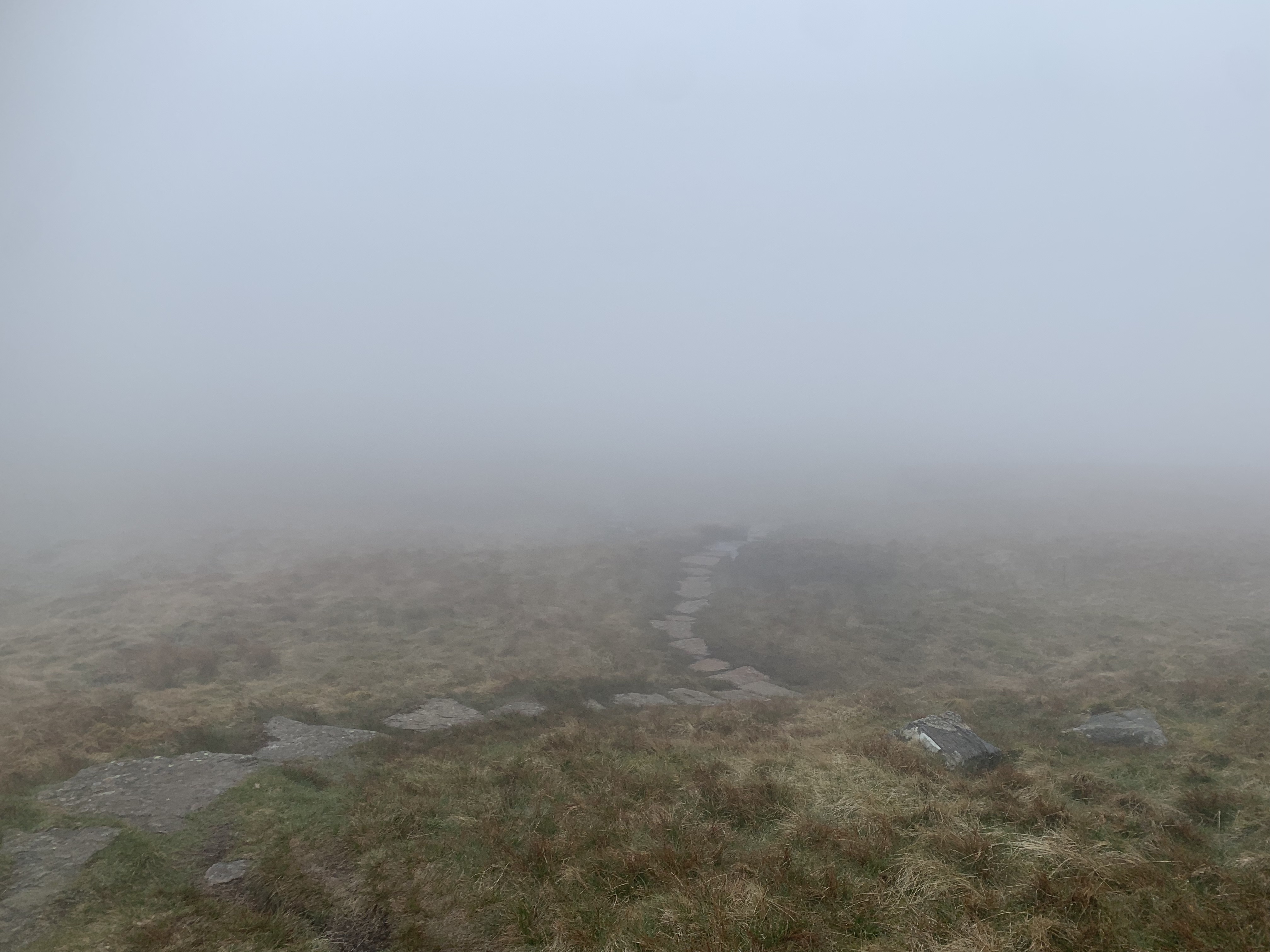
Once we reached Wildboar Scar we were in the clouds – I didn’t mind it too much at this point though as it really added to the moody atmosphere. At this point, we hadn’t seen a sole since we passed the house and it is such a nice change from the Lake District where a solo walk is quite rare. However, it was less enjoyable when a couple of km’s later, it became windy and wet with the peak invisible amongst the clouds. I was getting pretty hungry too but we really wanted to plough onto the bothy to shelter from the conditions for lunch. There is another 4km from the top of Wildboar Scar to the peak of Cross Fell so there was still a fair way to go.
Interestingly, there were lots of structures made out of the drystone that mark the way to the peak. These look pretty creepy coming out of the cloud, I can tell you that. It reminded me a little of The Ritual, a thriller/horror based around hiking the Kungsleden in Sweden. Obviously, the setting was quite different but, you could imagine these creatures coming to life in the mist, haha! The effort that must have been put into building these is pretty special. They’re very useful navigation tools, along with the cairns. Because of the low cloud, we were relying on a combination of carins, offline mapping from the app Maps.Me and compass bearings to ensure that we were on the right track. It’s always important to have a backup plan as the weather can be very changeable, even at this time of year.

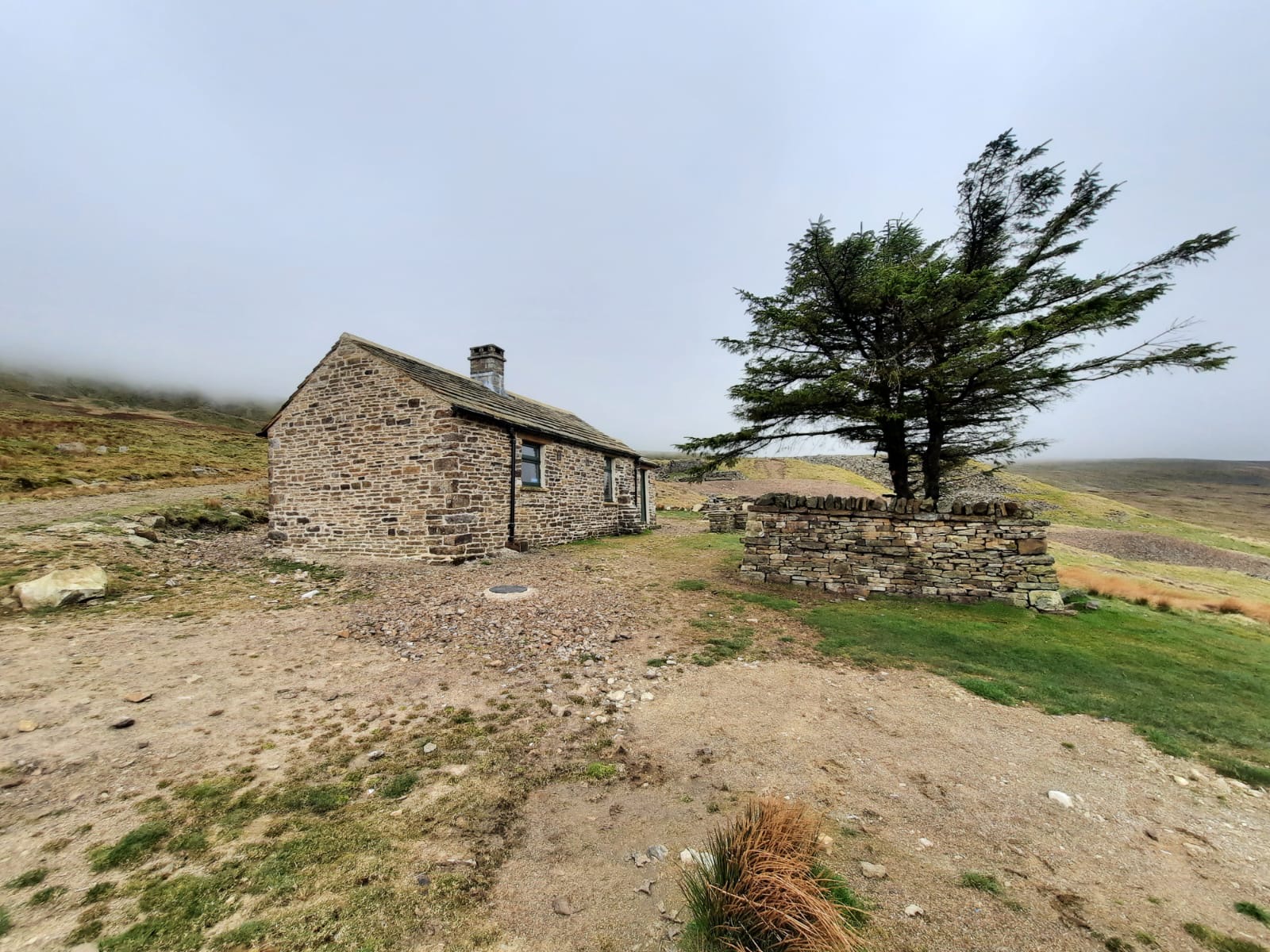
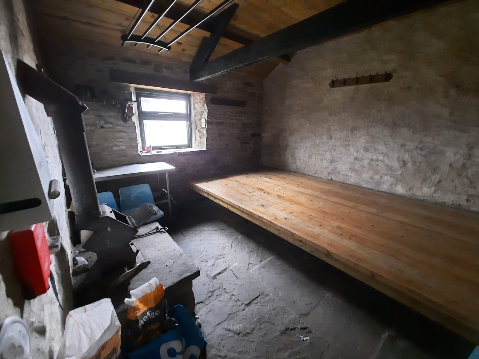
The peak of Cross Fell is marked by one of those stone crosses that would be a nice place to stop and eat on a good weather day. Obviously, that wasn’t the case for us so we continued on to Greg’s Hut. It was a weekend of bothies as we visited Warnscale Head and Dub’s Hut the day before however, I think Greg’s Hut may take the crown as the best bothy I’ve been in so far. It’s well maintained and in a very handy location for those walking the Pennine Way. It has recently been renovated too! It has two rooms: one with seating and the other with a long bench for sleeping. You could probably fit around 8 people in there. It was a great place to stop and have lunch! Luckily, we were also below the clouds at this point and were treated to hints of a beautiful view.

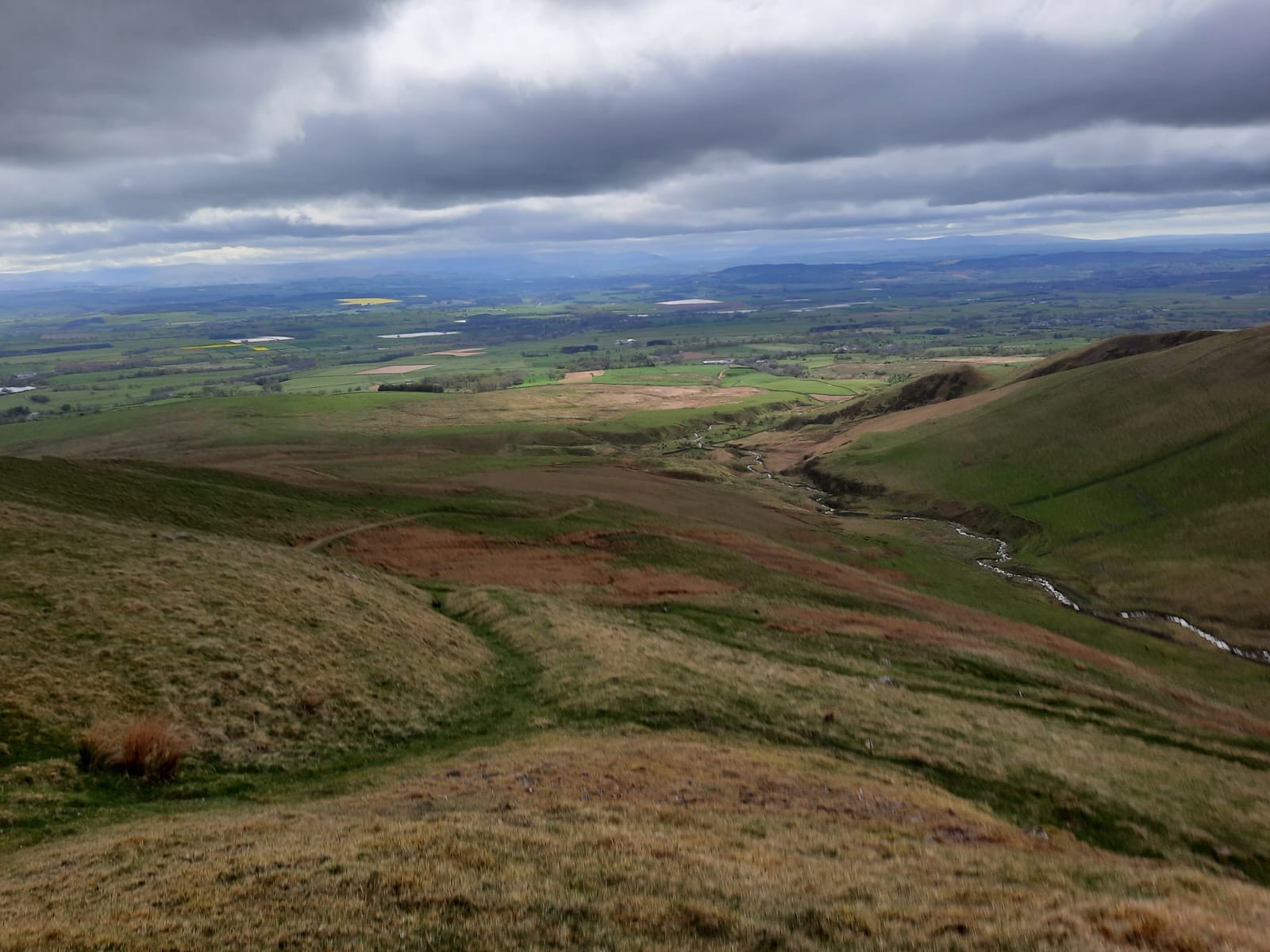
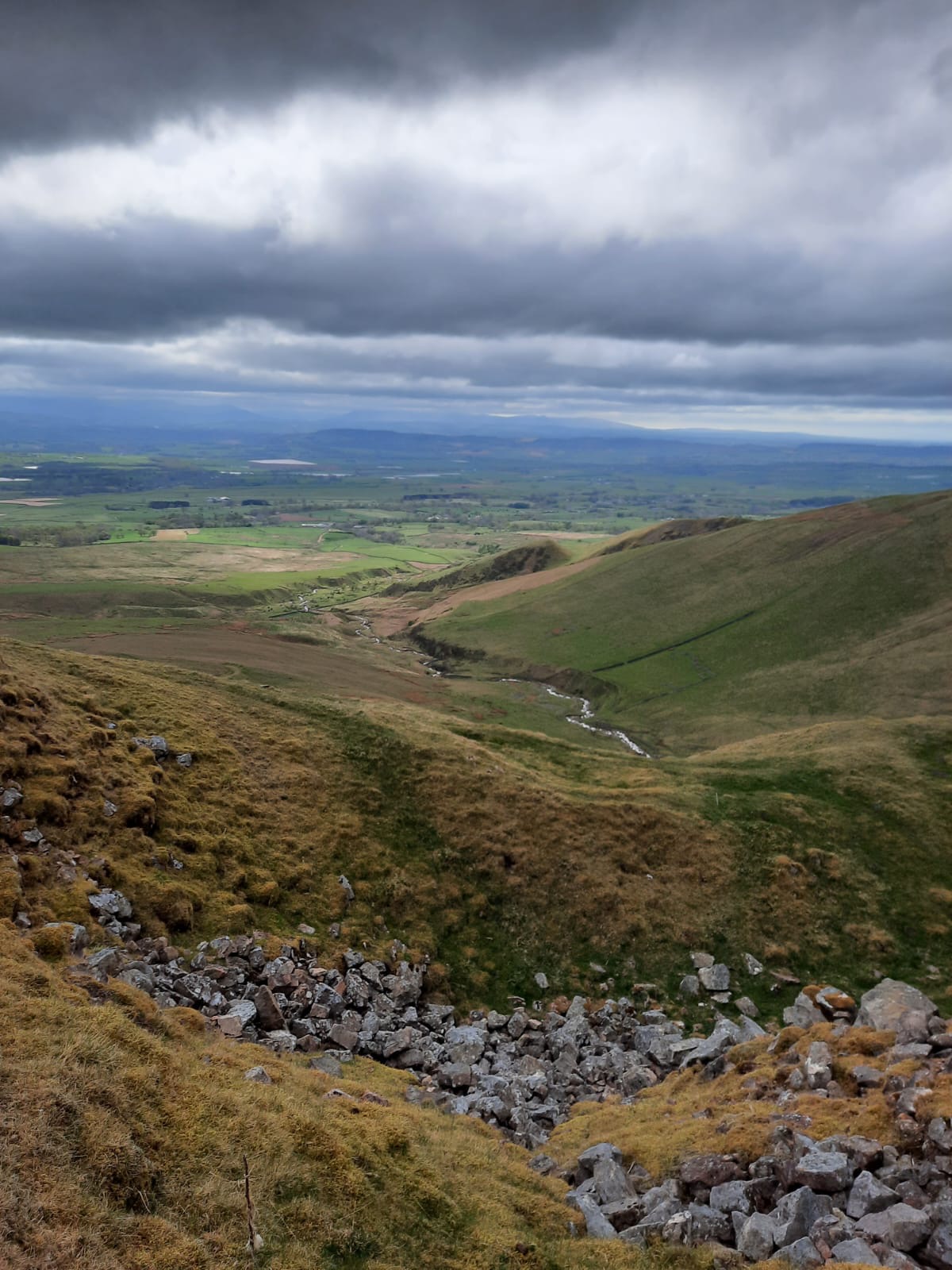
After a short climb back up towards Cross Fell, it was time to descend back down into the valley. Here, we walked along a trail called Pennine Journey. This is a circular route through the North of England, passing through the Dales and the Pennines. It is thought to be quite a challenging route and is 247 miles long (397km!). That is a hell of a long way! Unlike the Pennine Way, which is a linear route, the Pennine Journey also includes the three Yorkshire peaks! I think I’d aim for the Pennine Way first and even that feels a little beyond me just yet. Let’s start with the Cumbria Way…
The descent was very easy, following a clear gravelly track that winds its way back down. You should be able to see the farm that you initially passed through on the descent. Plus, the path takes you right back to the car park which is handy. There isn’t too much to say about this descent as there aren’t any hugely notable features. Just nice views and nice walking!
All in all, this may not have been the best day to go to the highest peak in the North Pennines but it was still a lovely route and a great atmospheric day. I highly recommend giving this one a go!
Your browser does not support iframes. View this route at Map PedometerStart point: Kirkland Hall Cottages
- Begin to walk up the track at the end of the car park. Take the first right through the gate, signposted Ranbeck.
- Head across the field to the next gate. There is a rudimentary stile here, into the next field.
- Continue with the drystone wall on your left to the end of the field.
- At the metal gate, the path continues through another small field however, when calves are present, head down to the farm track and through the farm this way.
- After you’ve passed through the farm and through the gate, follow the track to the right.
- Continue following this track past a house.
- Once you’ve passed the house, turn left towards the hills, through the gorse bush, ignoring the gate ahead.
- Follow the path through the sheep pens and continue straight.
- Bear left of the creek to hike Moray Hill.
- At the top of this small hill, continue straight to climb towards the rocky outcrop of Wildboar Scar.
- At the top of Wildboar Scar, the grassy path should bend right onto a plateau..
- After around a km, the path meets another with stone slabs/steps. Follow these to the left.
- Then, after 2km, follow the next path on your left. Continue on to the peak of Cross Fell.
- Once you’ve hit the peak, continue along the path slightly to the right to descend.
- You should soon meet a cairn at a junction. Turn right here and descend towards Greg’s Hut.
- Retrace your steps back up the short ascent towards Cross Fell. However, instead turning left back to the peak, continue straight.
- Follow this track all the way back down the valley to the car park.
End point: Kirkland Hall Cottages
Have you been to Cross Fell?
Amie x


Leave a comment