The next couple of posts are incredibly exciting as I’m going to be taking you through a recent three-day hike across Scotland. The journey begins in Stirling, my ex-university city where I still had access to my university accommodation. Having free (well, contracted not free) accommodation for the night was a useful start to this trip and prompted us to have one last adventure in Scotland before the contract ended. Alex had time of work and so did our friend, Ed, so off we went to complete a three day hike which began on the Cape Wrath Trail and ended in Knoydart, the remotest part of mainland Britain.
As I said, we stayed in Stirling the night before heading to Glenfinnan because the train journey from Glasgow is a long one. We boarded the first train from Glasgow Queen Street to Mallaig which left at around 8:30am but yet, it didn’t arrive in Glenfinnan until around 12:45pm. It is a lovely train journey though, passing lochs, woodlands and other beautiful scenery. It’s funny that this journey takes as long as going from London to Scotland but, it is all part of the fun. The best way to book the train tickets is to get a return ticket from Glasgow Queen Street to Mallaig as, despite getting off the train at Glenfinnan on the way out there, you will be getting the train back from Mallaig on your return. It works out a little bit cheaper then buying two separate tickets and costs us around £37 with a 16-25 railcard.
Difficulty: Easy
Distance: 14.5km
Elevation: +549m
OS Map: 391
Notable Features: Glenfinnan Viaduct, Bealach Allt n’Chaoruinn, Corryhully bothy
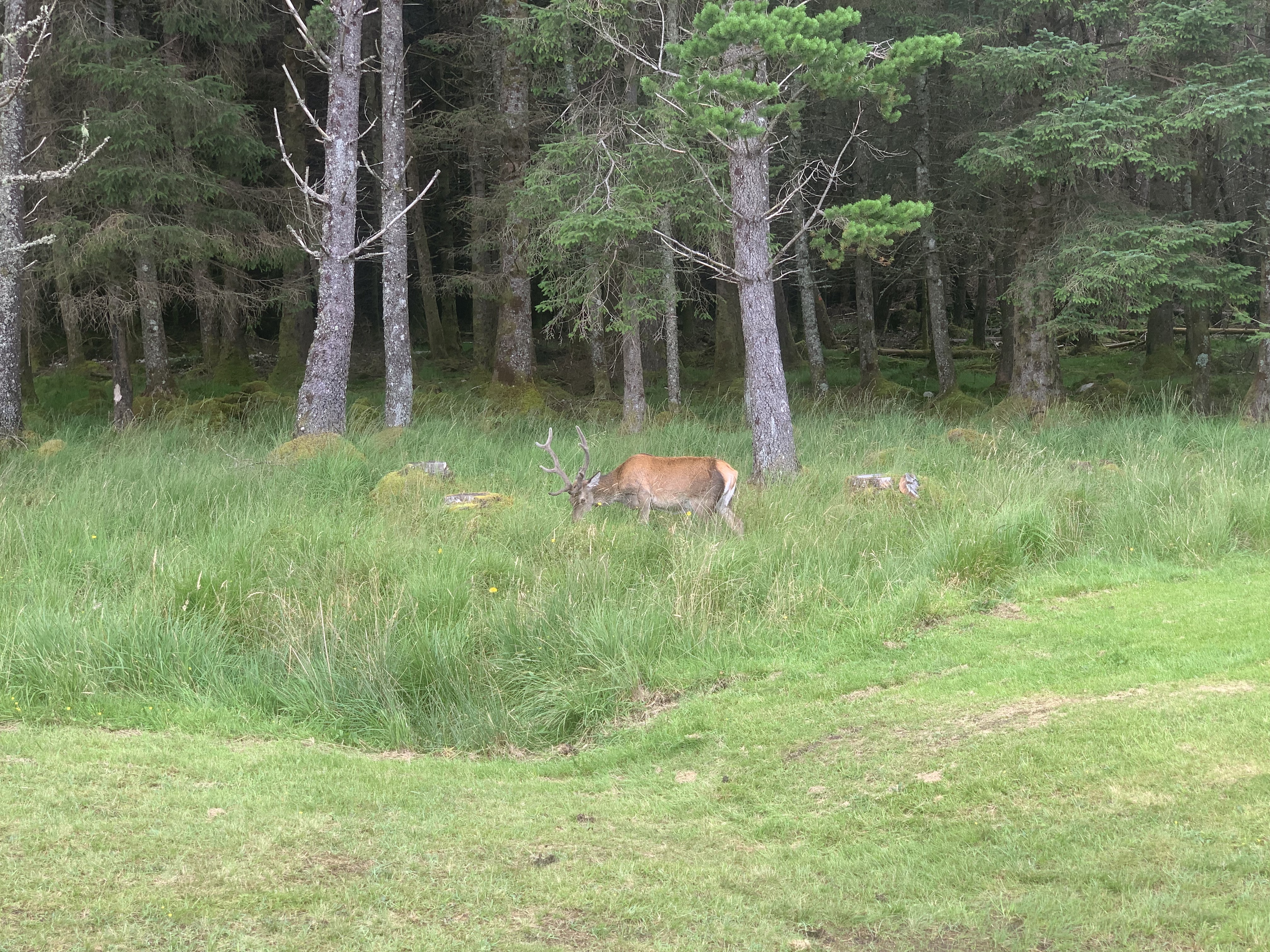
Look out for: Red Deer
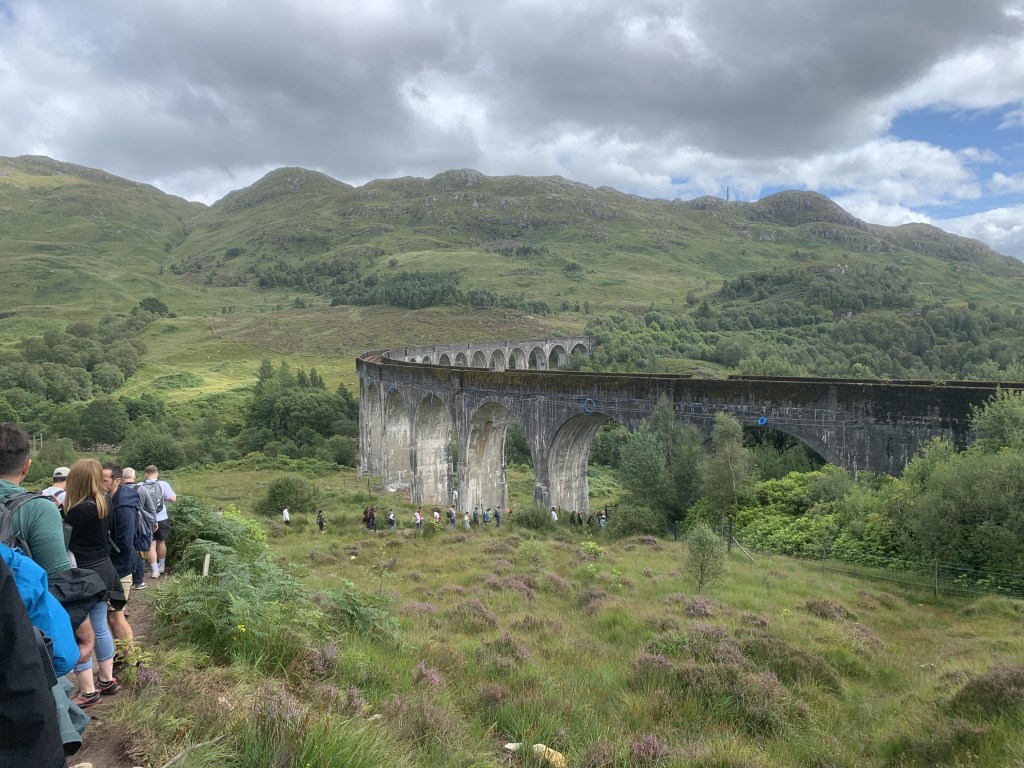
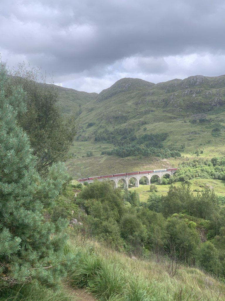
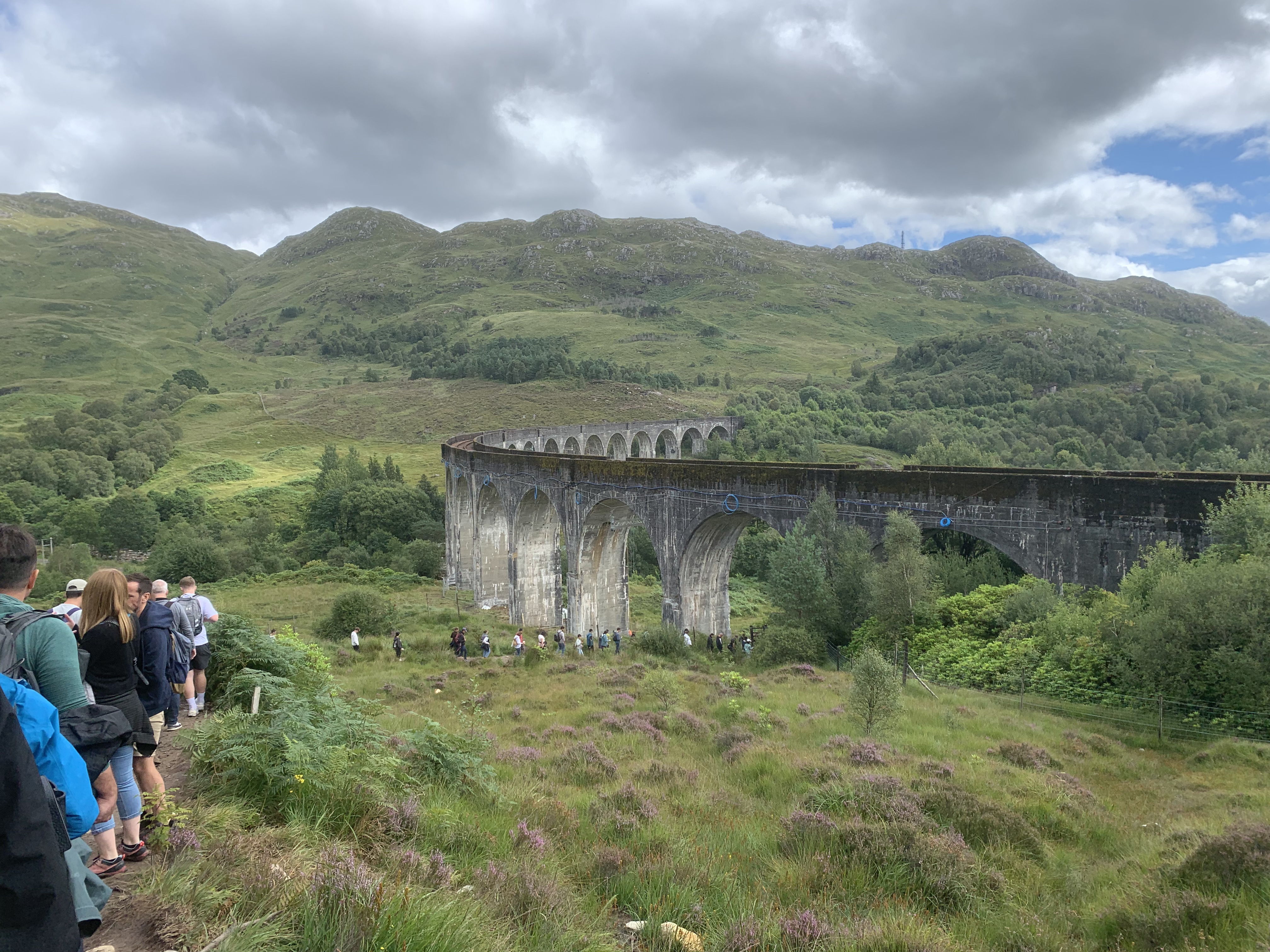
Glenfinnan was a bucket list location for me so I was very excited to find that the trip started there. Glenfinnan Viaduct is an incredibly popular tourist attraction for one reason only: Harry Potter. The Hogwarts Express passes over the Viaduct in the films and it plays a big part in the flying car sequence of Harry Potter and the Chamber of Secrets. I was a huge fan of the book and film series growing up so I had always wanted to see it. Admittedly, it wasn’t as nice an experience as I was imagining. The viaduct itself is magnificent but the incredible number of people attempting to get a photo with it on the footpath was not. The ground was muddy and completely destroyed by the crowds and people were not being all that accommodating of each other which made walking through with a big camping rucksack a little difficult. Regardless though, it is a pretty cool sight!
Once we’d passed under the Viaduct, we walked along the road for 2km. It was along the road that we got talking to a girl who was also completing the walk from Glenfinnan to Knoydart which was a nice surprise. She had walked from Glenfinnan to the a bothy on the route a year before so offered some insight into what was ahead. I like meeting people on trips like this but it also does increase the pressure a little bit as I become more conscious of my pace – or lack of it – especially with upcoming hills.
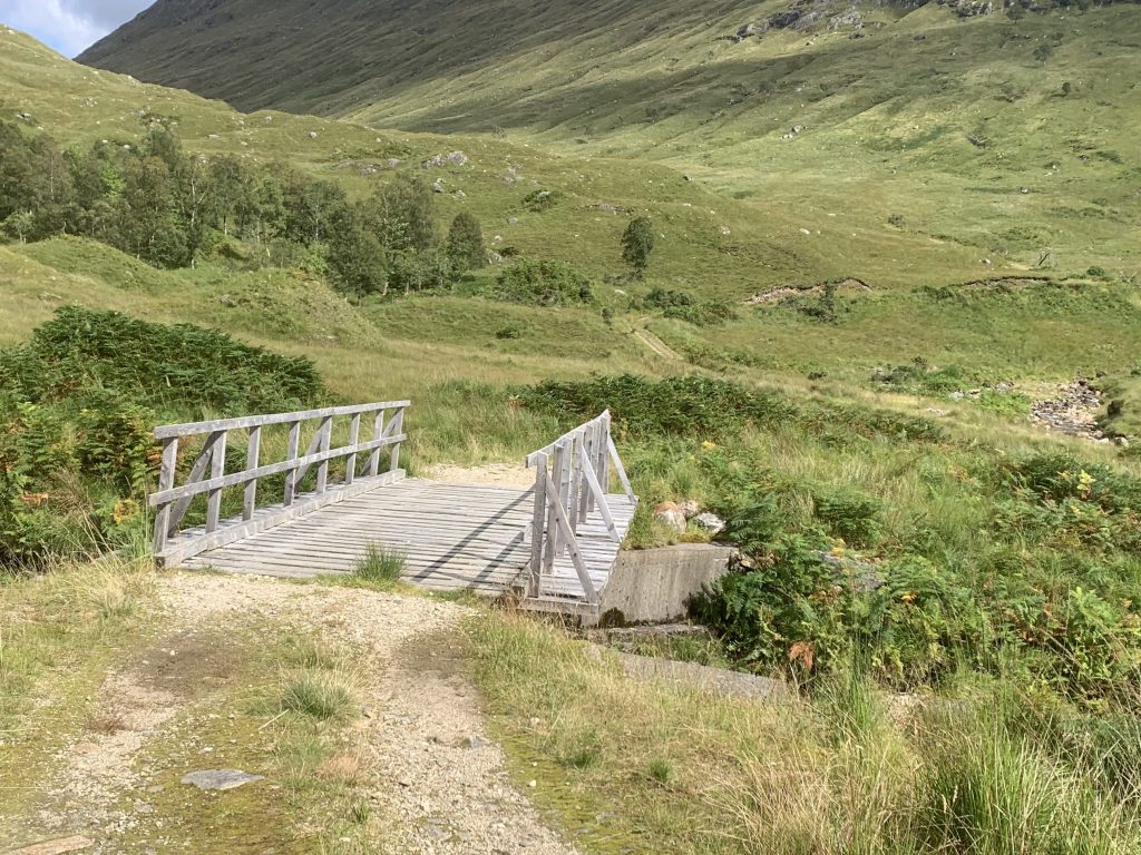
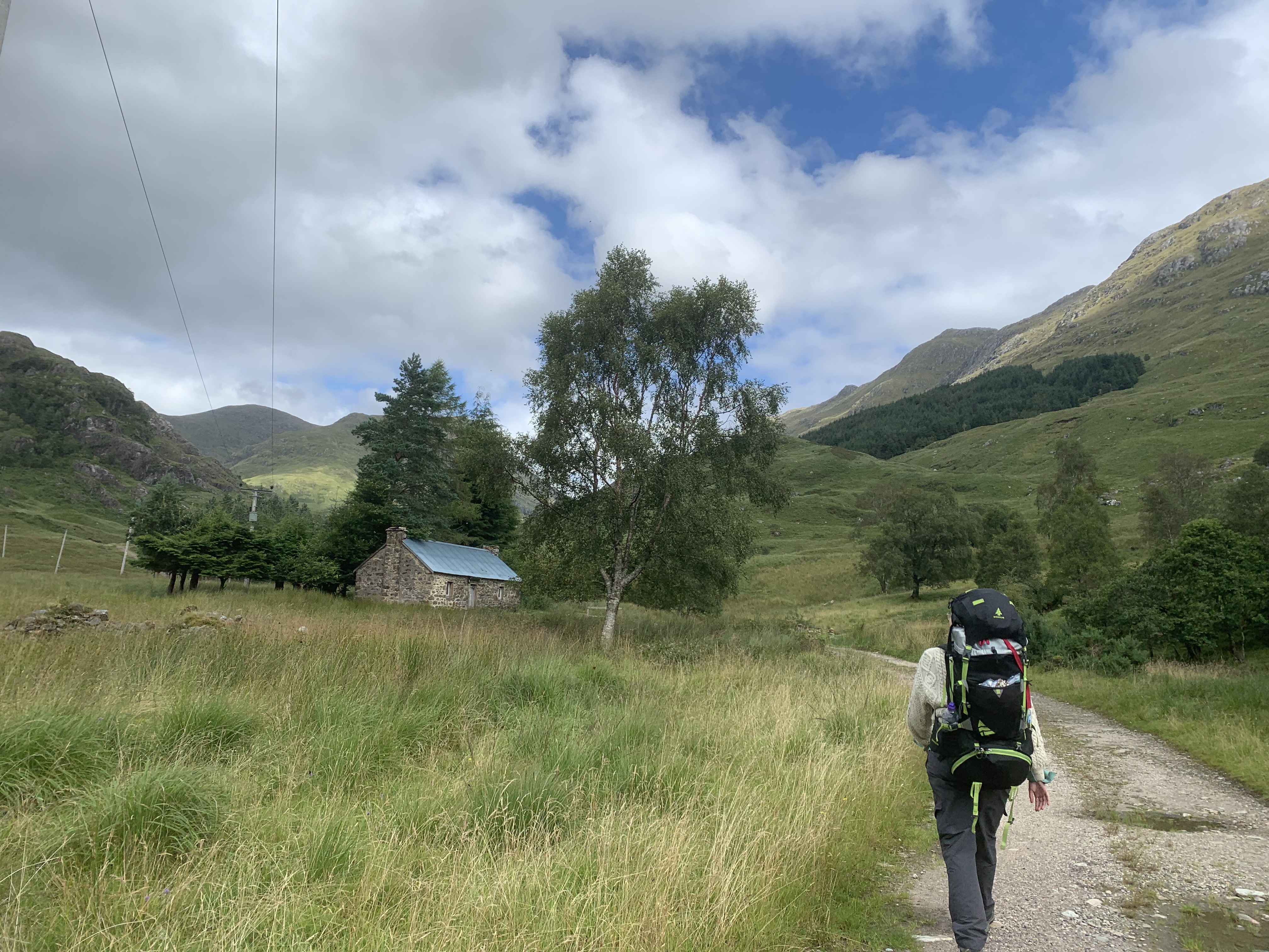
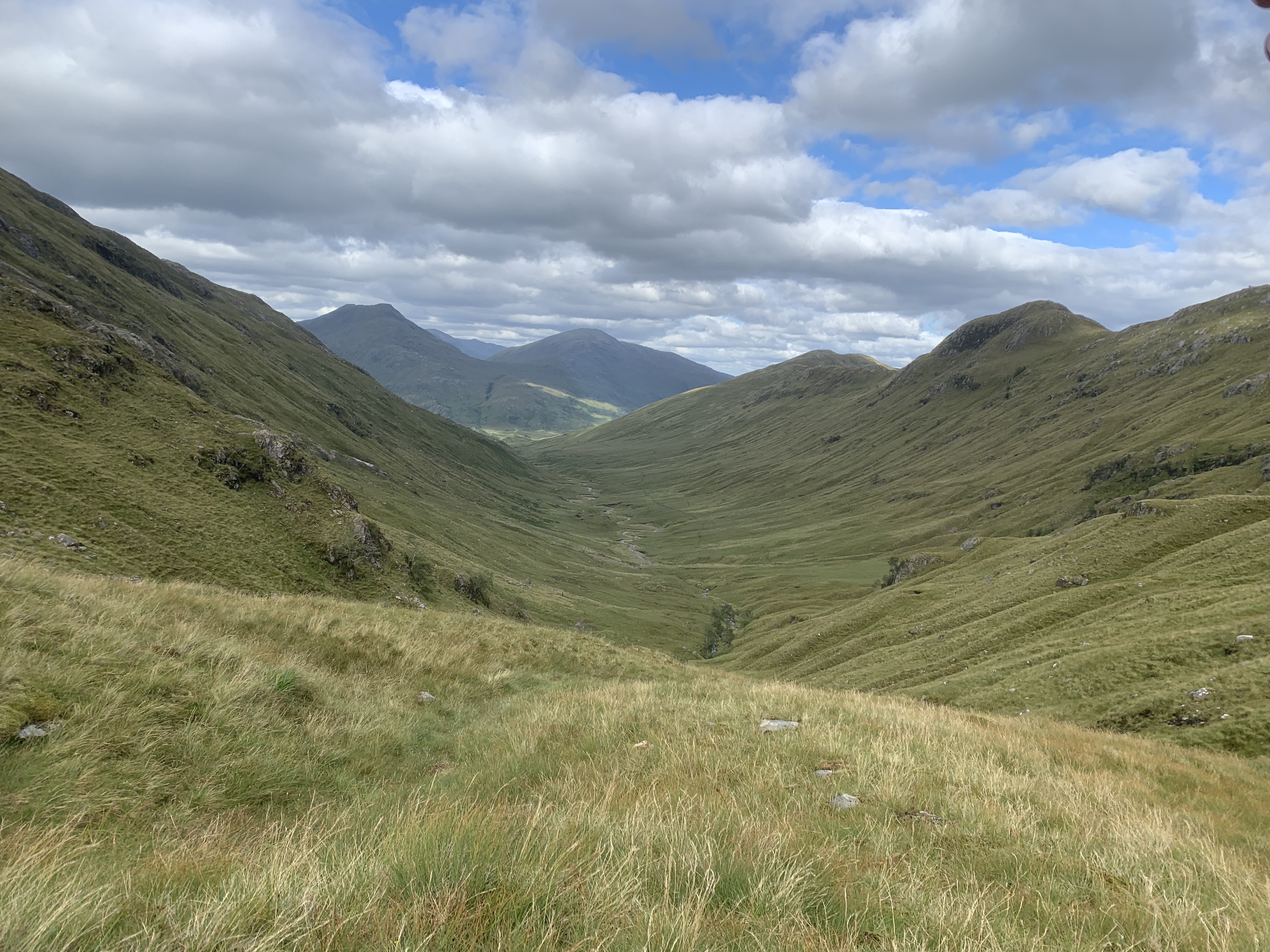
She was lovely though and we parted ways after the 3km as we stopped for lunch. Along this road, there is the first of four bothies on or nearby the route. Corryhully is a spacious bothy that could be used to break this trip into even smaller sectors, especially if you don’t arrive into Glenfinnan until later. This bothy also marks the spot where you depart the road and follow a track instead. After around another km or so, the track gives out and the river forks. At the fork, we headed across the bridge over the river and to the right to begin the climb of day 1. This was where the mental game of this walk really kicked in. I do love camping but, any kind of incline is a struggle for me mentally with a big rucksack on. I really have to take it slow and try not to get too in my head – which I fail at frequently. This is by no means a high peak or anything remotely close to munro-sized. In fact, Bealach Allt n’Chaoruinn is only 483m tall but it felt much more than that at the time.
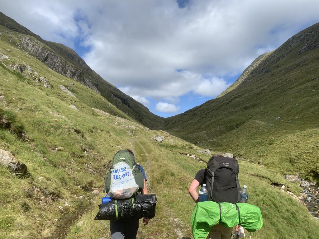
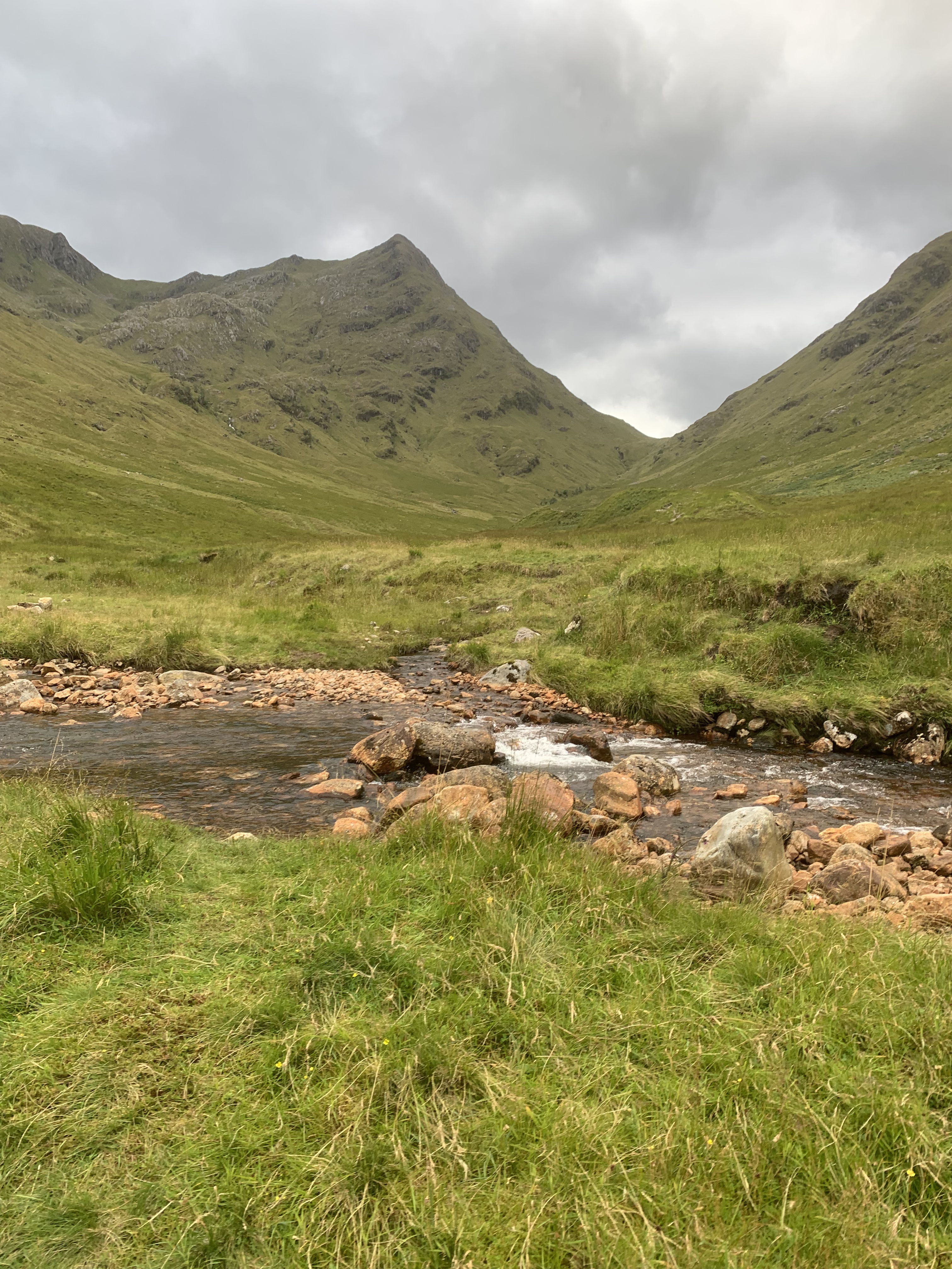
Once we’d reached the top of the hill, it was a case of heading back down into the valley. It was here that the bog began. According to mappedometer, the path stays on the left hand side of the river for a long time. However, following advice from the girl that we met earlier on the walk, we opted to cross the river earlier. I’m not sure if this was the best decision but, apparently the river gets harder to cross the further you head down the river. One thing is for certain, the right hand side of the river was incredibly boggy with lots of tufted grass that made for uneven walking. The ‘path’ on this side wasn’t too clear and basically non-existent but that was soon to become much more common as the walk progressed.
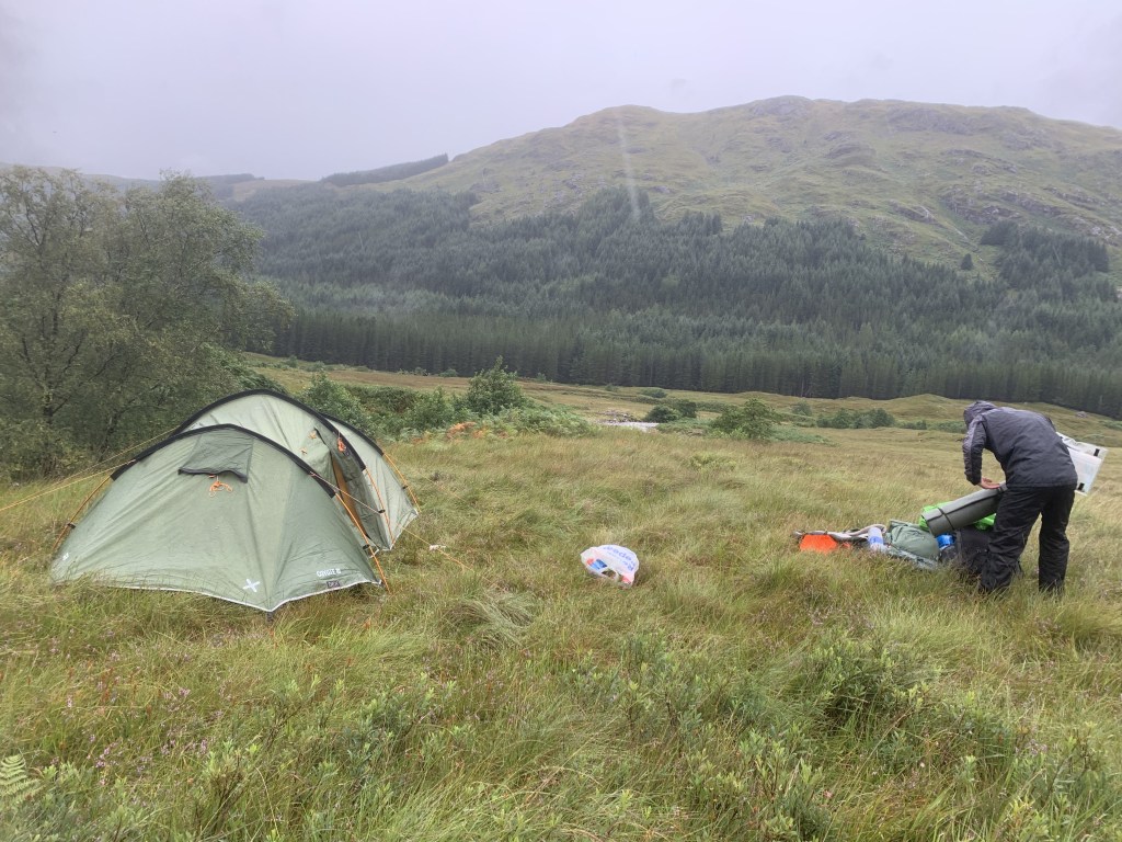
There are two options, well three, for an end-point to day one. We opted to camp near the River Pean, just before the path crosses a bridge and enters the woodland. This was a fine spot however, with torrential rain overnight, the ground became boggy and we woke up with the tent in a bit of a swamp. We were also mobbed by midges in the morning which is not ideal but expected when it comes to Scotland unfortunately. The second option is to head on for an extra 4-5km to A’Chuil which is a bothy maintained by the Bothy Association. We stopped here for breakfast the next morning and, according to the visitors log book, it seemed like we wouldn’t have fit in there anyway; it was incredibly busy! The third and final option is to massively deviate from the route and stay at Glenpean Bothy which is again a 4km addition to the end of the route in the opposite direction. I don’t think that is a very good option but something to be aware of.
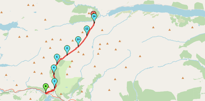
So, that brings me to the end of day one on the trail from Glenfinnan to Knoydart and we managed to cover 14km which may not seem like a lot but, starting from after midday with our big rucksacks, it was a good time to stop. This is going to make a fairly simple step by step route but, check out the route for yourself on mappedometer. Despite the linearity, its always important to bring a map and compass as you never know what the conditions are going to be like on the day.
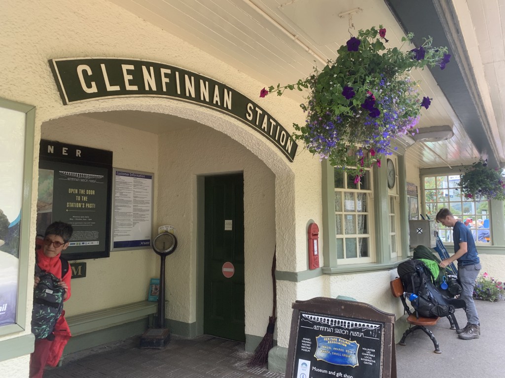
Start Point: Glenfinnan Train Station
- Exit the train station and head left at the dining cart, following signposts for the Viaduct trail.
- Follow the footpath to the Glenfinnan Viaduct viewpoint.
- The path heads under the viaduct and winds down to meet a lane. Turn left (this should take you under the viaduct once more).
- Continue to follow the road until you see Corryhully bothy on the right hand side. Here, leave the path and and take the track on the right as it heads towards the bothy.
- Pass the bothy and continue to follow the track.
- Just before the 7km mark, the track crosses a bridge and then splits. Take the path to the right that heads to the end of the valley and up and over.
- Continue to follow the path to the small peak of Bealach Allt n’Chaoruinn. Once you’ve reached the top, head down and into the valley.
- Keep left of the river on the main decent. At the valley floor, after the conversion of 2 rivers, cross the river where safe.
- Keep parallel to the river – the path may be less clear at this point but you’re heading in the right direction. We followed a narrow and at times unclear path in the grass.
- Continue down the valley until you meet a boundary fence ahead and grassy track.
- Follow the river as it bends to the left. We stopped to camp just before the bridge.
- If you want to head on to the bothy, cross the wooden bridge. Taking a dog leg (left then right) from the bridge, you should see a track that enters the forest. This later meets a forest gravel track that can take you to the bothy on the opposite side of the forest (see later post for navigation).
End Point: Camp spot near the River Pean OR continue on to the bothy.
Day 2 coming soon!
Amie x

Leave a comment