
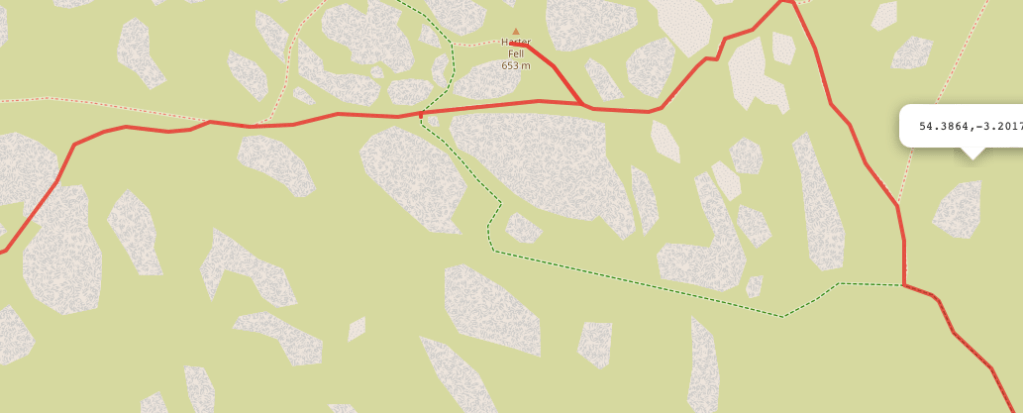
There are actually two Wainwrights called Harter Fell in the Lake District, one near Haweswater in the Mardale area and the second not far from Hardknott’s Pass around Eskdale. The walk I have to share with you today bags the latter of the two and is a shorter walk that would be perfect for an afternoon in the Lake District. It still has some steep terrain in parts but, it a relatively easy walk.
Harter Fell (Eskdale) is 658 metres (2,142ft) tall ranking it 113th of all the Wainwrights in the Lakes. There are several different routes to the summit but, on this occasion, we began our walk at Dunnerdale Forest, or Hardknott Forest as it seems to be called now. Don’t be alarmed if your map doesn’t match the signposts as they are the same place – this was a bit of a surprise to us too! I believe there is a restoration project underway at the forest in partnership with Leeds University as it is, or was, the largest conifer plantation in the whole of the national park. They are planning to restore 630 hectares of the natural habitat and you can sign up to their newsletter to keep up to date if this is something you’re interested in.
Difficulty: Easy
Distance: 6km
Elevation: 658metres
OS Map:
OL6
Notable Features: Restoring Hard Knott Forest, Harter Fell
Look Out For: Buzzards, Red Squirrels

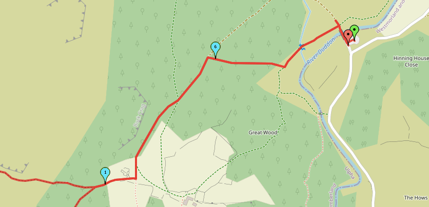
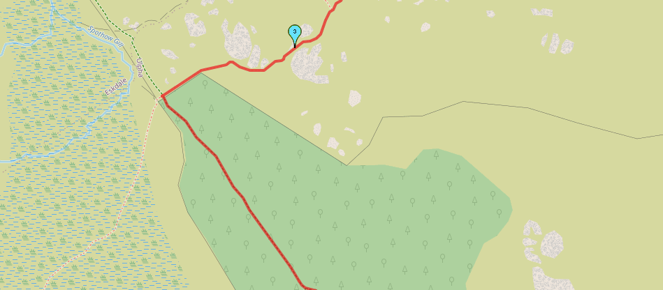
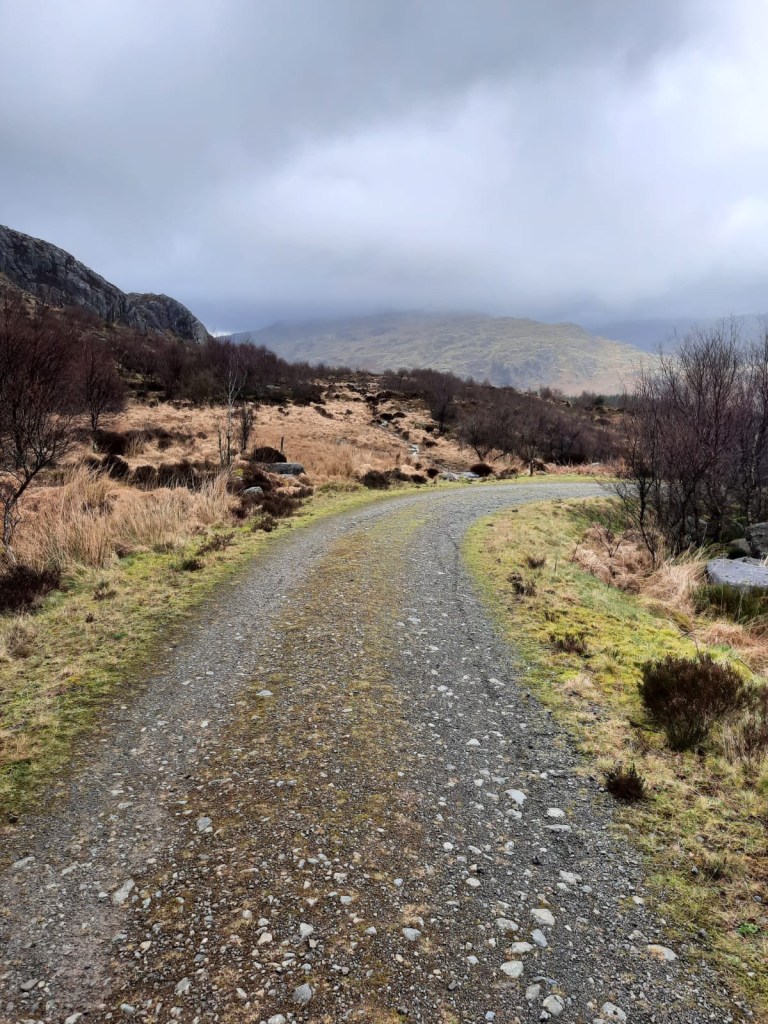
In terms of parking, we arrived at Birks Bridge Car Park to find it mostly empty. I wouldn’t bank on that in the summer months though! From that I can remember, there is also a donation box for payment rather than a ticket machine. The car park is a 45 minute drive from Coniston and around an hour from Ambleside as you have to head quite far south before going back north to go around the mountains. Things certainly take quite a while to get to, even if you’re already in the Lakes! From the car park, there are plenty of walks through the woodland or you can take the opportunity to head up Harter Fell.
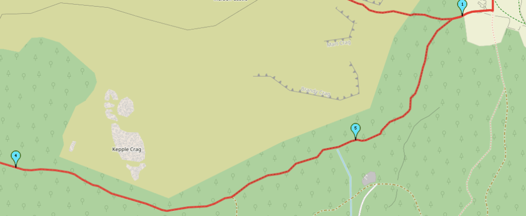
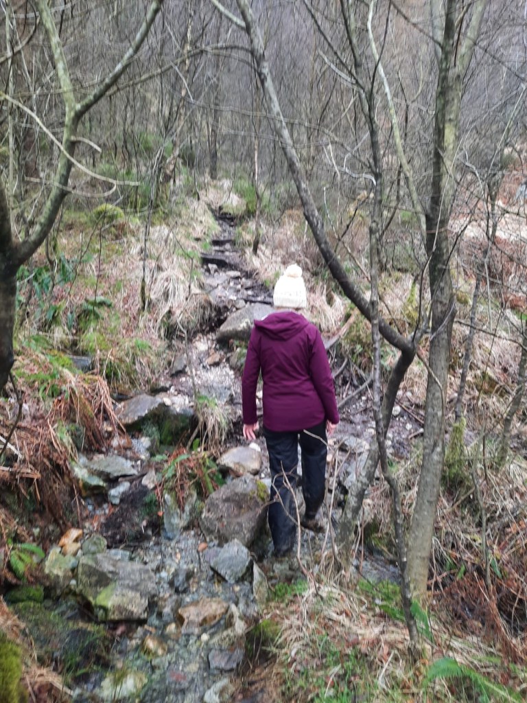
The hardest part of this walk is probably how steep it becomes from the offset. Although you’re starting from above sea level, the 457m elevation gain occurs within one kilometre essentially. It was a little tough going at times with a small bit of scree towards the top of the incline but, nothing too difficult. I would say that the path becomes harder to follow in this area but, once you’ve reached the grass, it is fairly easy to find again. But, it is something to be aware of at this point.
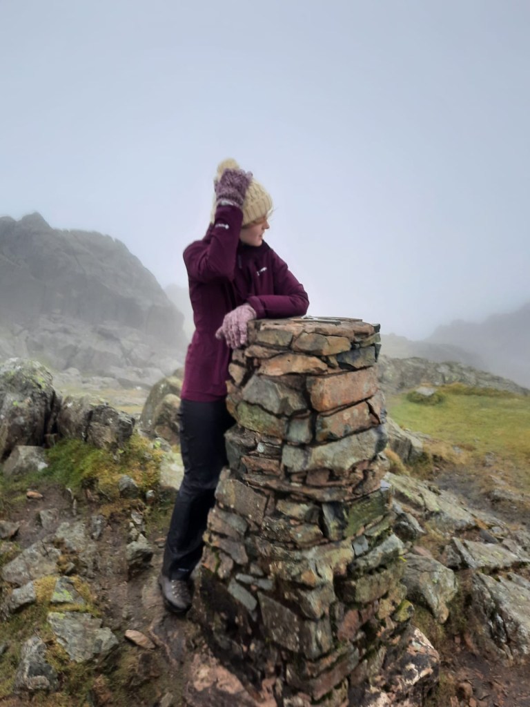
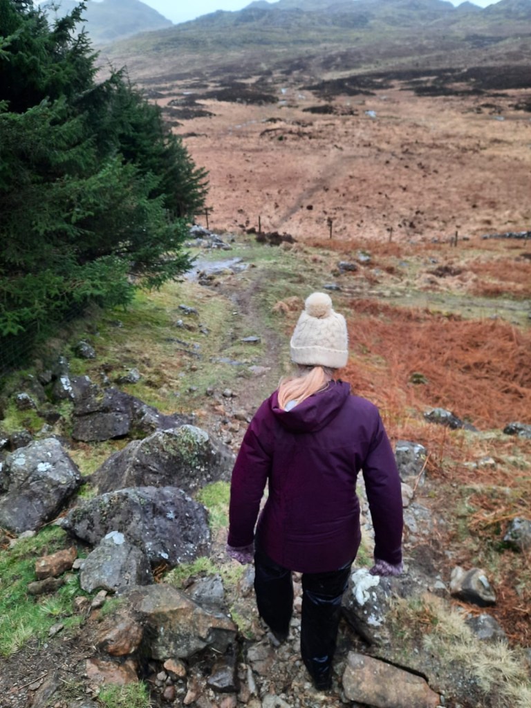
It was actually quite difficult to find the trig point that marked the top of the peak with this one. It was incredibly windy when we were at peak and the whole areas has lots of rocky outcrops but, we eventually found the right one before hunkering down behind some of the rocks to eat lunch away from the wind. On a clear day, you would have great views across some of the Eskdale horseshoes!
I really enjoyed the descent of this one – I mean, going down is the easy part usually haha! It was quite difficult to find the path back down as the whole area looked very similar. We actually did a compass bearing to find the correct direction at least – this is certainly something that should be noted. It may have been the conditions on the day but, it is probably one of the most disorientating peaks we have been on – other than Ingelborough in the snow – in terms of finding the path down at least. We did go the wrong way initially which I think was the main cause of our confusion. We walked in a circle and I was completely confused by then; a compass reading was a must for us.
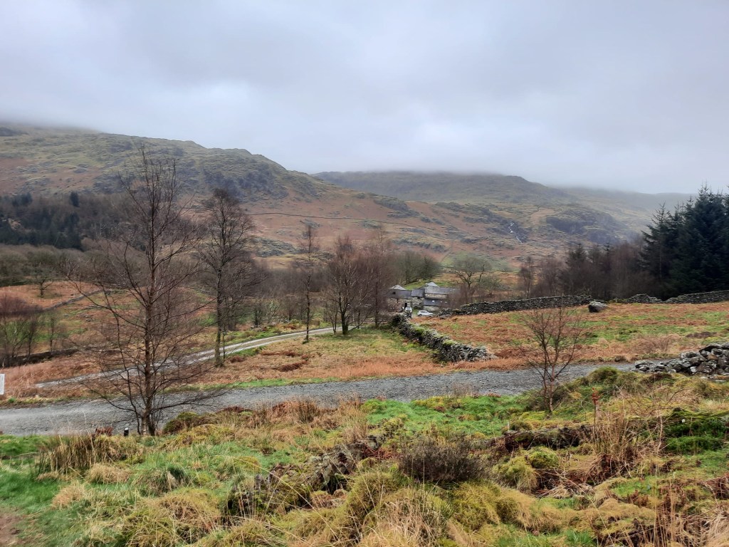
From there though, it was all smooth sailing. We had a lovely walk back through the forest to the car park. There were people cycling the track on mountain bikes which looked a lot of fun, although muddy. You actually do spend more time on the return walk here than climbing to the peak as you’re at the peak in just over 2km with another 4km to go to get back to the car. As I said, this is a short walk but a great way to tick off a peak. You could also incorporate it into a longer walk by heading over to Green Crag as well yet, this route is perfect for those short on time.
Here is the link to the route that we walked and a step by step guide:
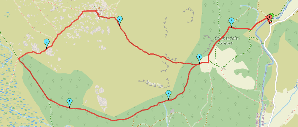
Start Point: Birks Bridge Car Park
- From the car park, head over the bridge and take the path on the left as soon as you have crossed.
- When the path meets a gravel track, take the fork in the middle, straight ahead.
- Ignore the track on the left that goes down towards the house and continue on.
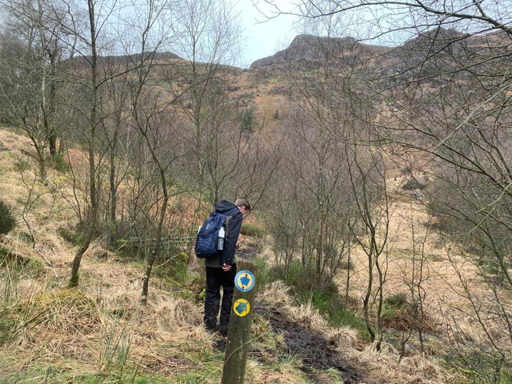
- Almost opposite to that track, there is a path on the right. Take this path which has a stone wall either side of it and a stone enclosure just beyond the entrance to the path. This was also signposted.
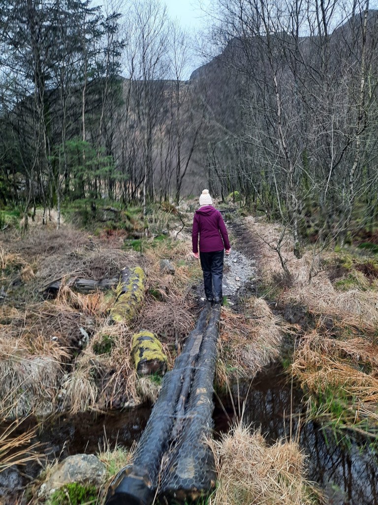
- Head over the logs that make a bridge over the bog.
- At the junction, follow the path to the right. This was signposted with a yellow circle with a blue arrow inside.
- Continue to follow this route. In some areas, there are steps and a small bit of scree.
- Once the gate is reached, continue straight up the hill to the Harter Fell peak.
- From the trig point, you need to return back to the path from which you approached it. The OS map suggests you can go in a straight line across the trig point – we didn’t find this to the case so found it easier to retrace our steps. I can’t offer too much advice here as it all depends on the way you reached the trig point and there are many routes. The best I can do is highlight this on the mapspedometer route and recommend you use a compass if you get confused. We headed due south for around twenty metres from the peak stone and then headed to the right (due east).
- Continue along the path, soon forking left down a small rocky descent. If the weather permits, you will know you’re on the right path as you will be looking at a valley with a pine forest at the bottom. The right-hand corner of the forest is where you are heading.
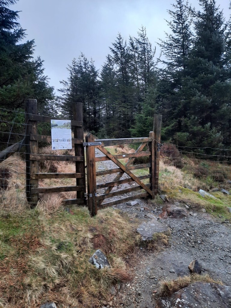
- Continue the descent and enter the gate on the left into the forest.
- Follow the path through the forest.
- At the fork, take the path on the left, continuing straight. This soon becomes a gravel track.
- The track then bends away to the right. Ignore this and continue on the grassy path signposted straight ahead (on the left of the track).
- Continue to follow this footpath which joins back to the logs over the bog at the start of the walk.
- Retrace your steps to the car park down the gravel track.
End Point: Birks Bridge Car Park
That was a tricky one! It wasn’t the best weather but I still found this to be a very enjoyable walk. And, we’d just about dried off by the time we reached the car!
Amie x

Leave a comment